

The new Kimpton, the 17-Mile Drive, and the cliff road to Nepenthe.
Pacific Grove: the doorway to Big Sur
I’ve lived in California my whole life, and until last weekend, I had never been to Big Sur. I know.
The morning I finally went, at age 41,
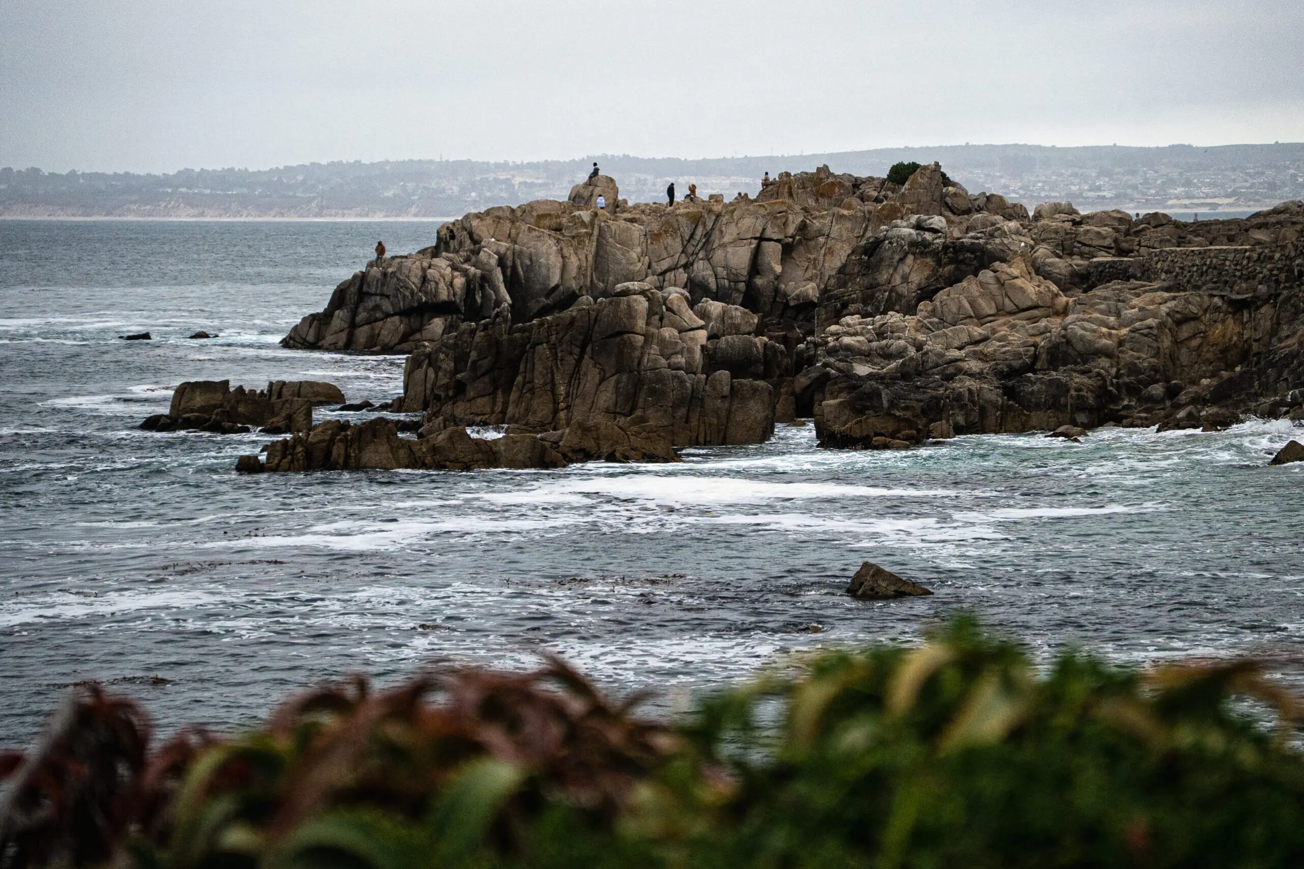
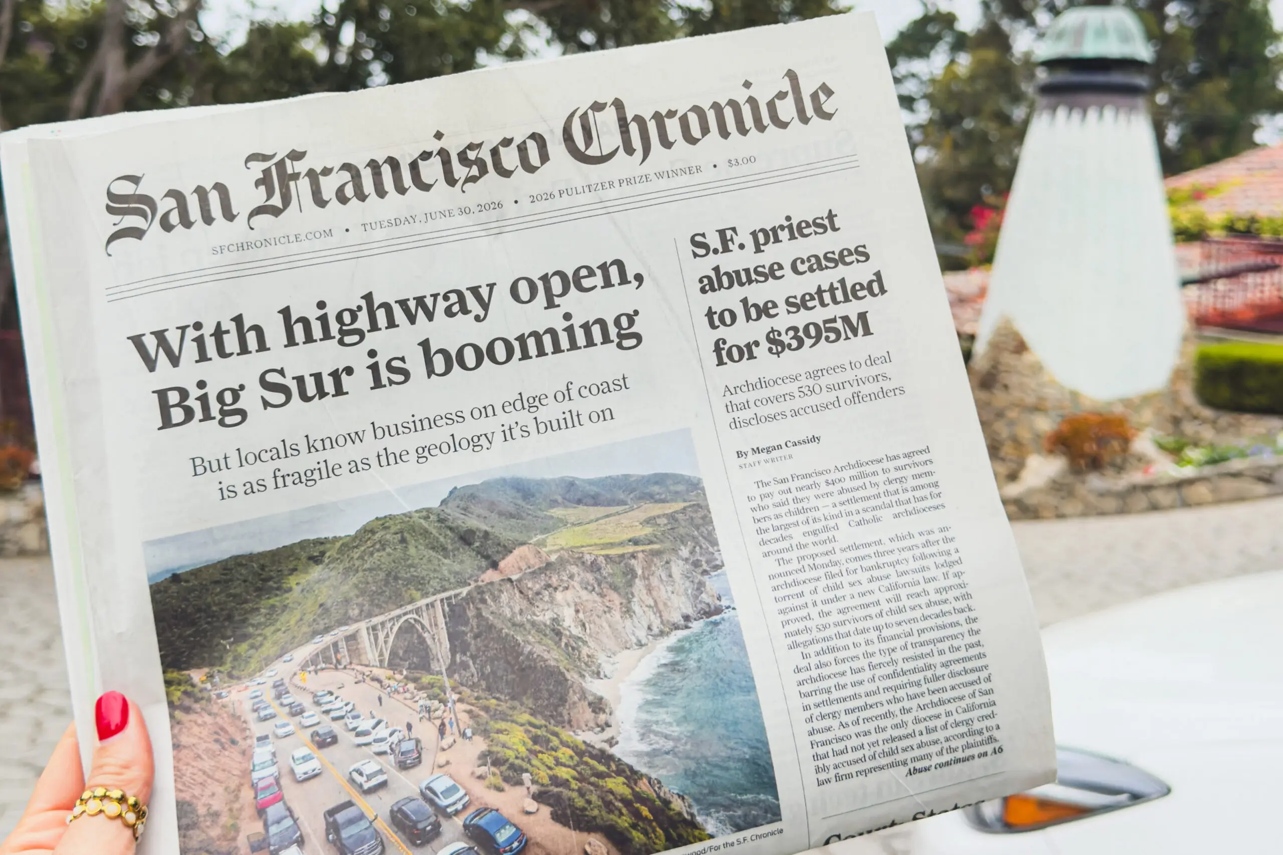
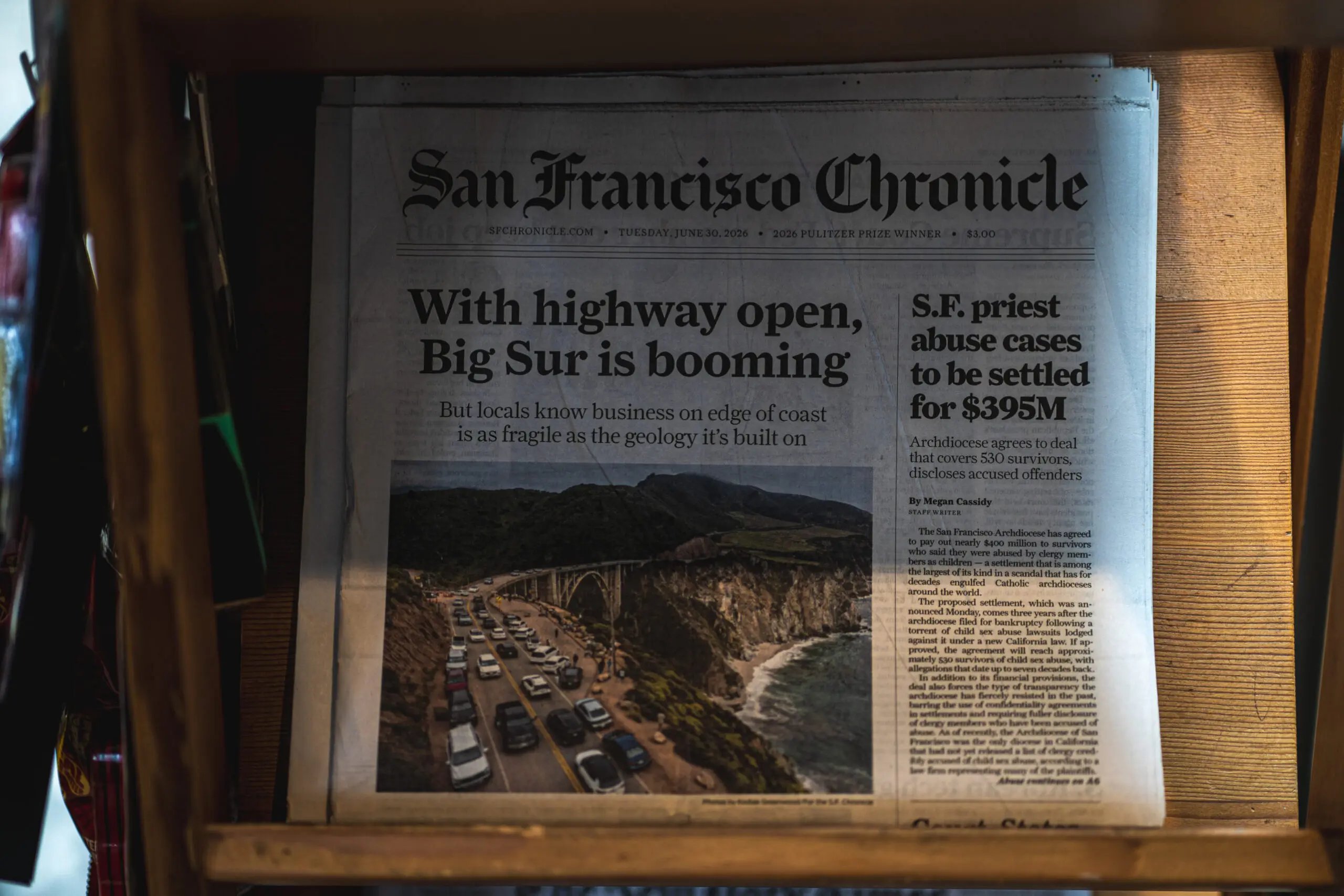
I walked into a gas station to see an article about the Highway 1 reopening on the front page of the San Francisco Chronicle (I live in SF). It felt scripted.
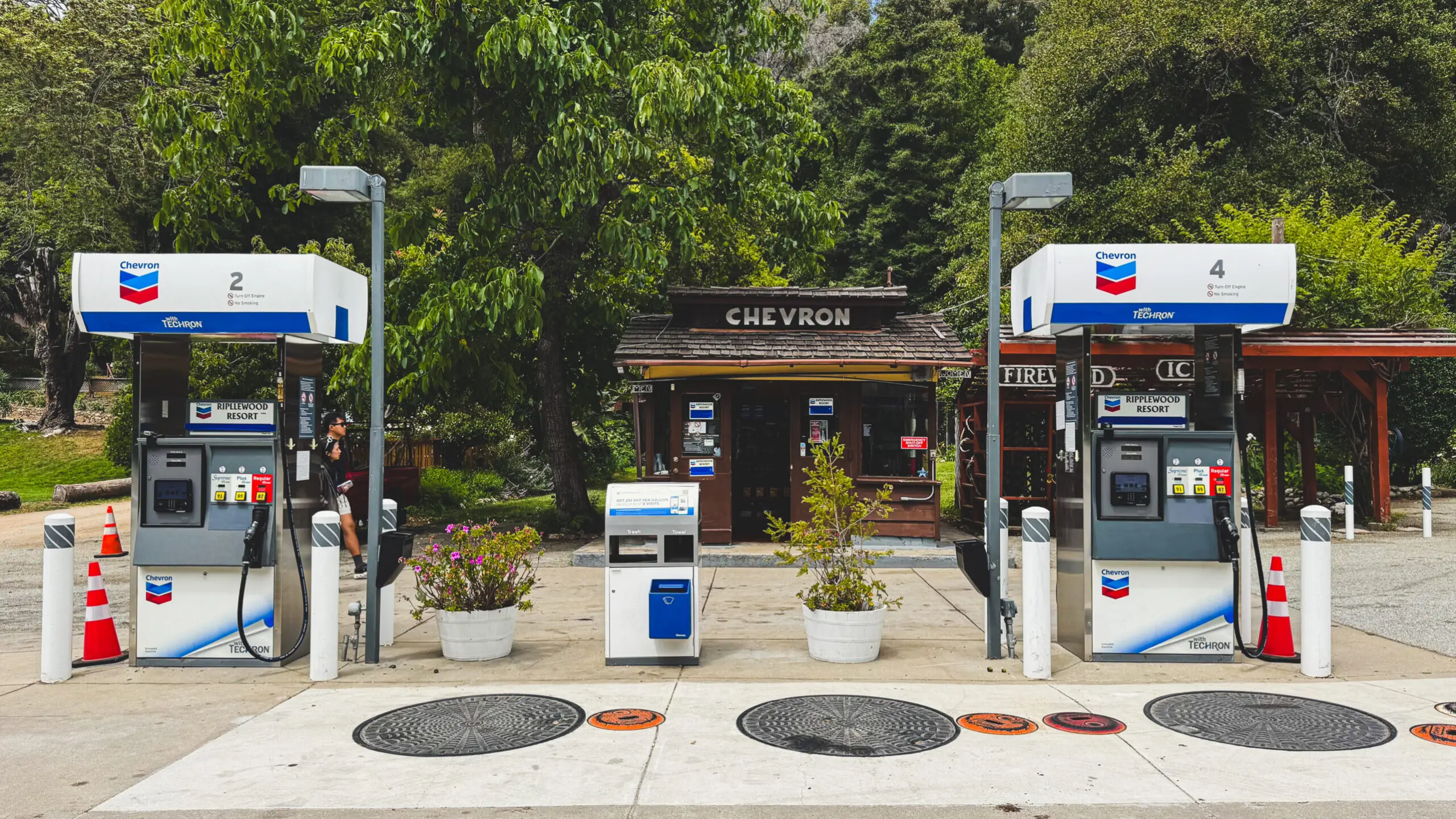
The story profiled Kirk Gafill, general manager of Nepenthe, and grandson of the founders – which was where we were headed to eat – and the manager of Big Sur River Inn, which I had pointed out to my husband 5 minutes ago, up the road.
I hadn’t told the newspaper my plans. I wasn’t discovering Big Sur so much as being formally introduced to it.
My instinct was that the universe was trying to tell me to buy a house here, but then I remembered I don’t have any money. Also, the HW 1 just reopened on January 14th of this year after 3 years of closure, giving the first uninterrupted Carmel–Cambria run since the Regent’s Slide.
So how do you do Pacific Grove: the doorway to Big Sur?
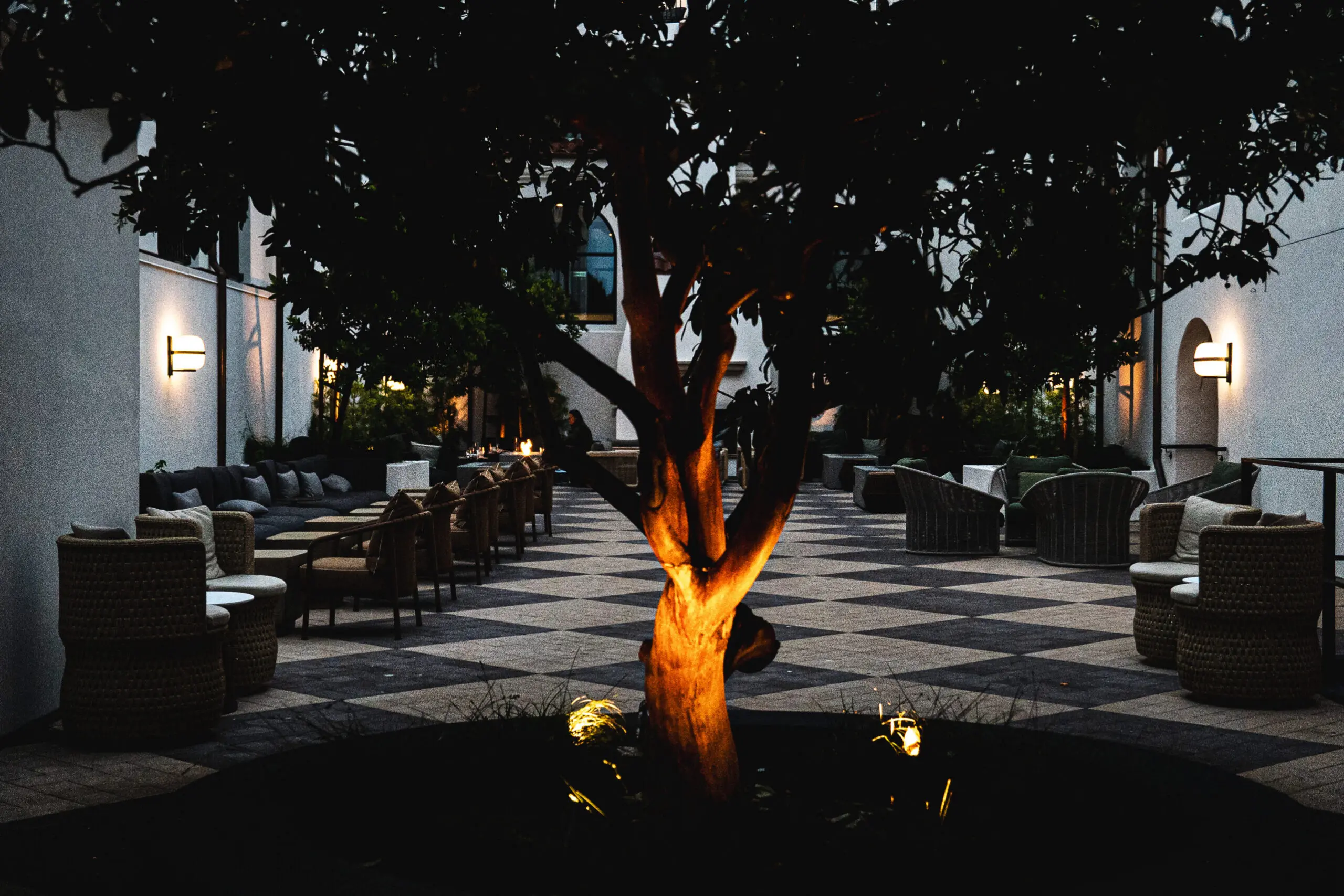
Here’s the thing I learned doing it as a first-timer: Big Sur isn’t necessarily a place you stay. The hotels are expensive and booked out super far in advance. It’s a place you day trip to.
So the move is to base yourself just north or south of the park — somewhere with a real bed, Wi-Fi, and gas stations priced by the market.
We’re from San Francisco, so our base was the brand-new Kimpton Mirador in Pacific Grove, with downtown PG at its doorstep and the 17-Mile Drive, Carmel, and Big Sur lined up to the south like a to-do list. With the road finally, fully open again, there’s never been a better moment to make this exact drive for the first time.
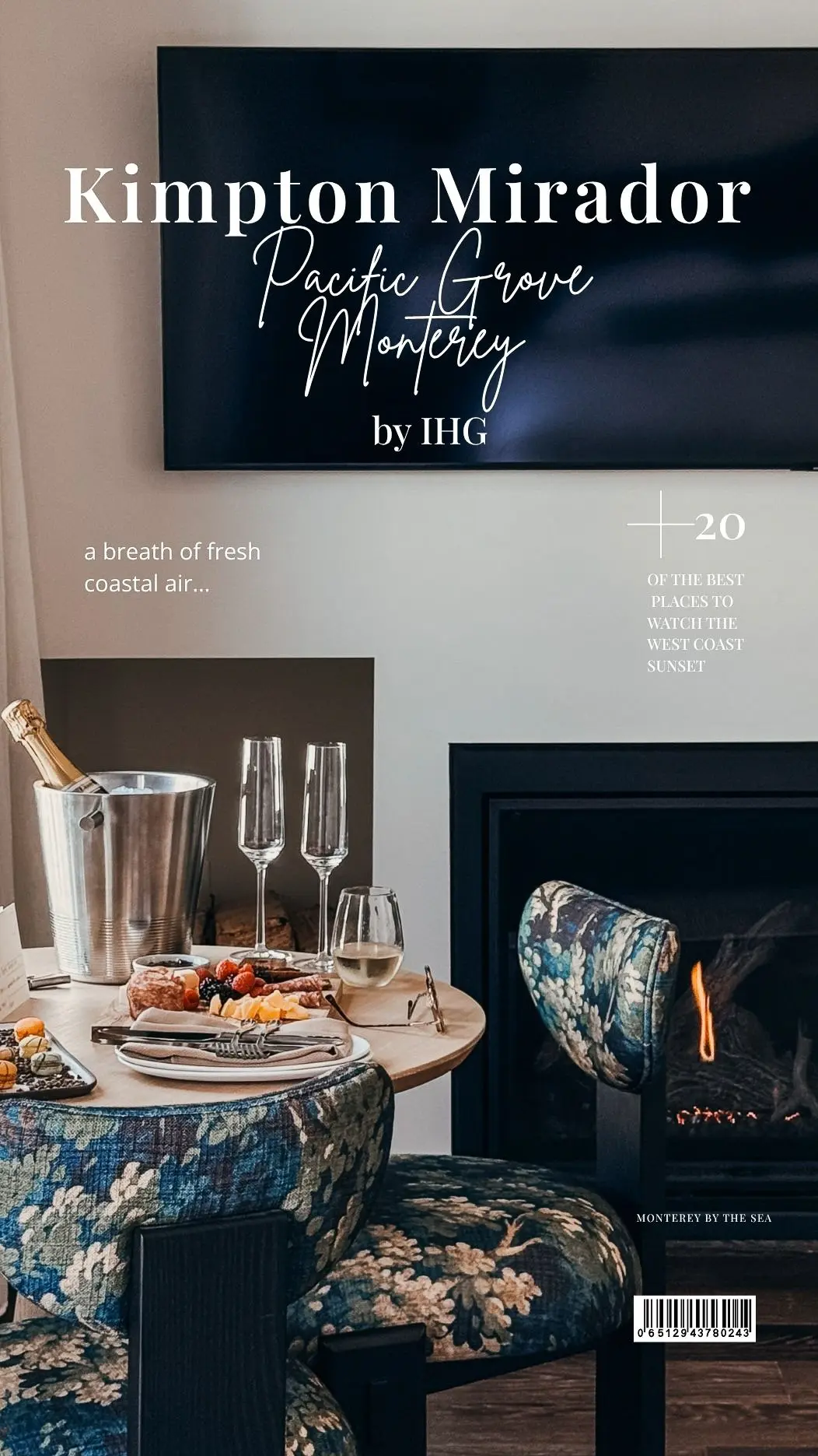
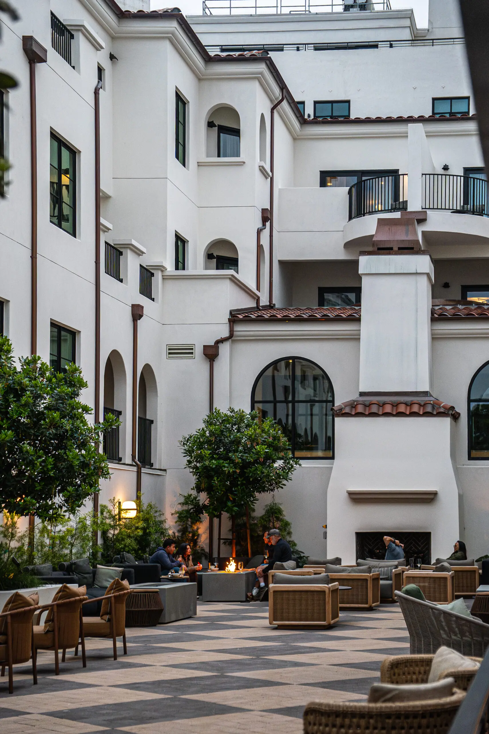
“Mirador” is Spanish for lookout, or viewpoint — and the whole hotel leans into that idea of pausing and actually looking around. It’s brand new (doors opened January 2026 – perfect timing!), Spanish Revival in style, all terracotta rooflines and warm plaster, planted right at the top of Lighthouse Avenue so that downtown Pacific Grove is a walk, not a drive.
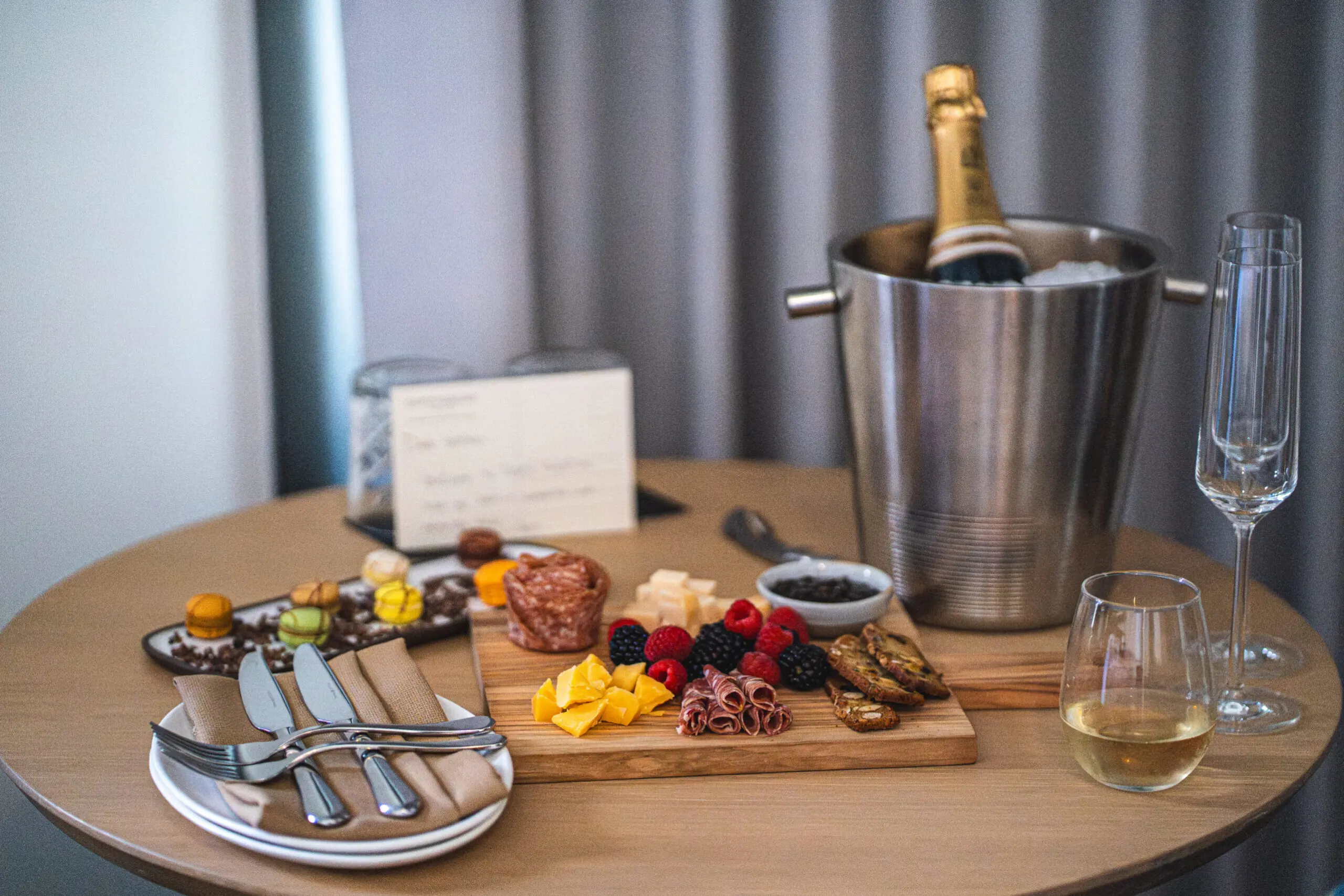
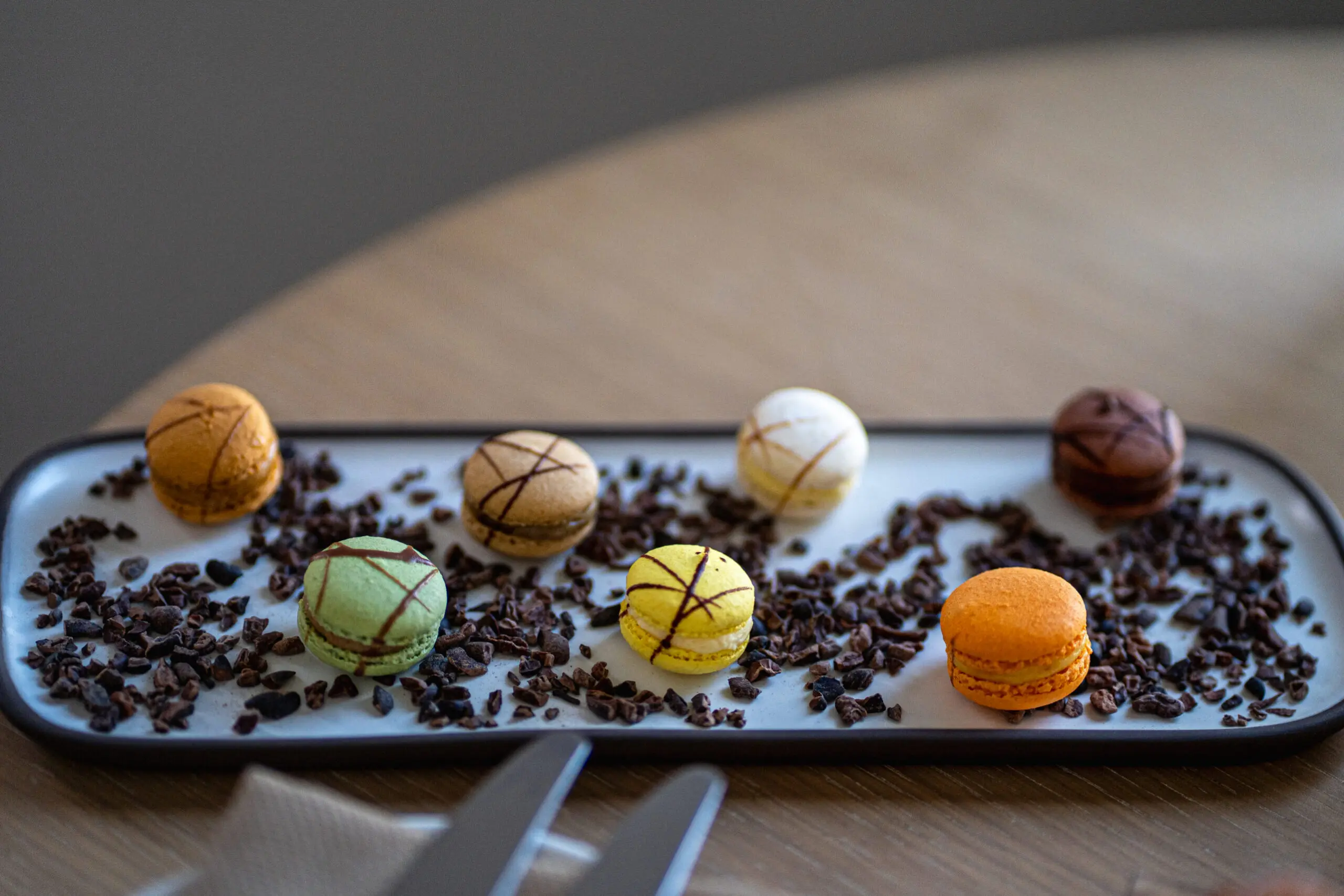
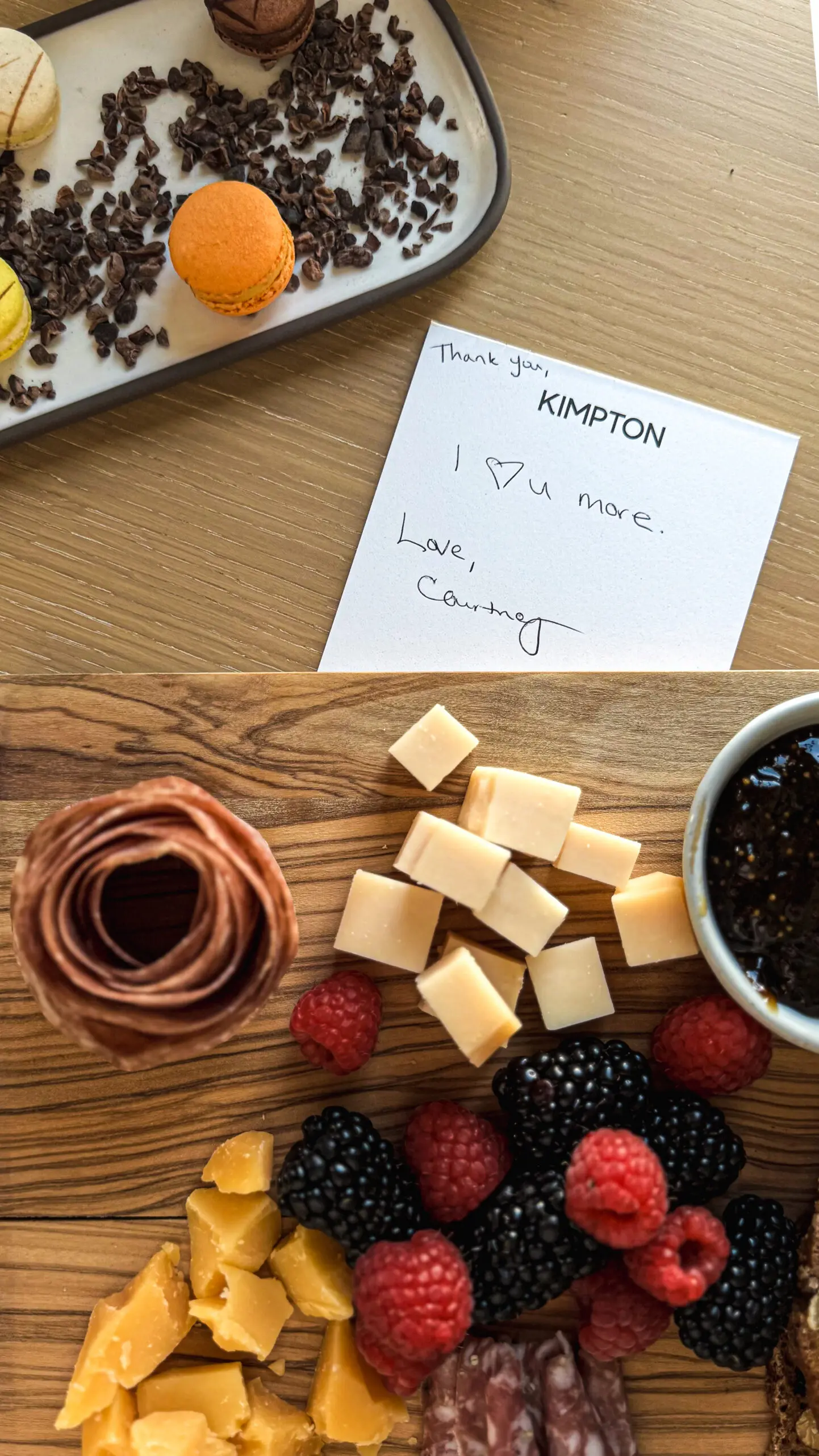
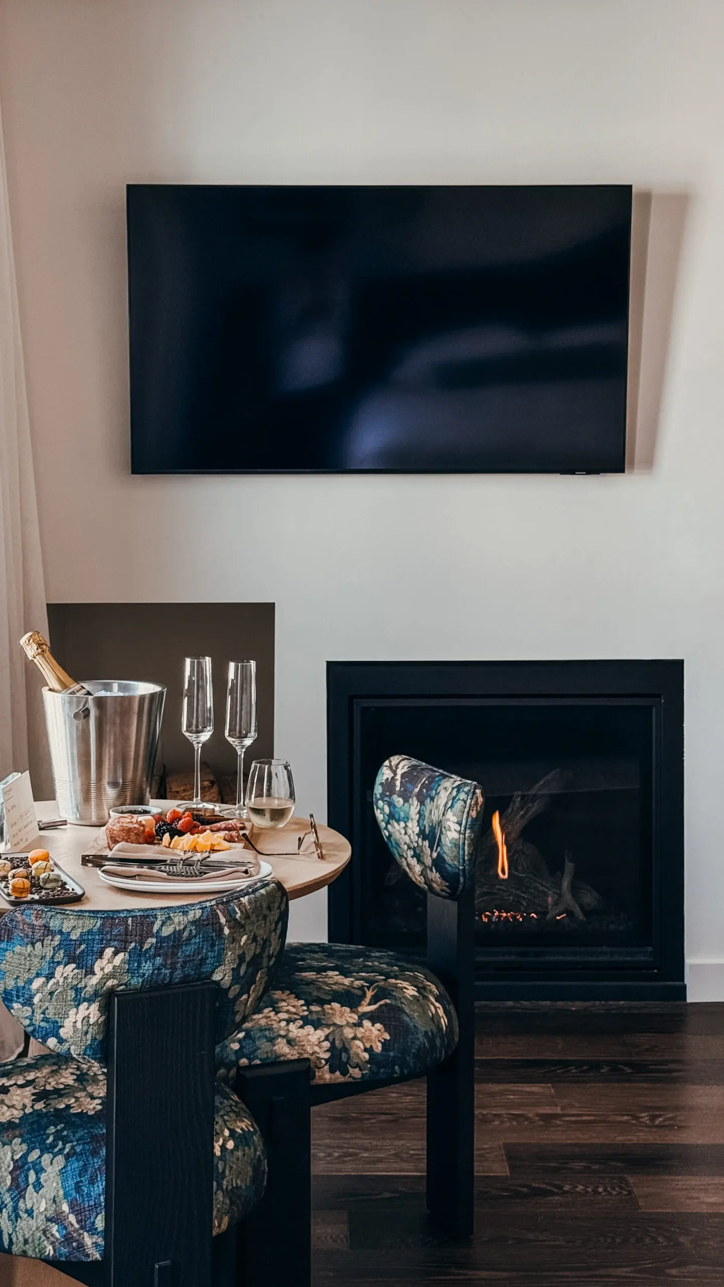
It does the Kimpton things you’d hope for — a firelit courtyard, an evening wine hour, complimentary bikes, welcome chocolates & charcuterie (& bubbles!), and a restaurant (The Caledonian) you don’t have to leave the property for.
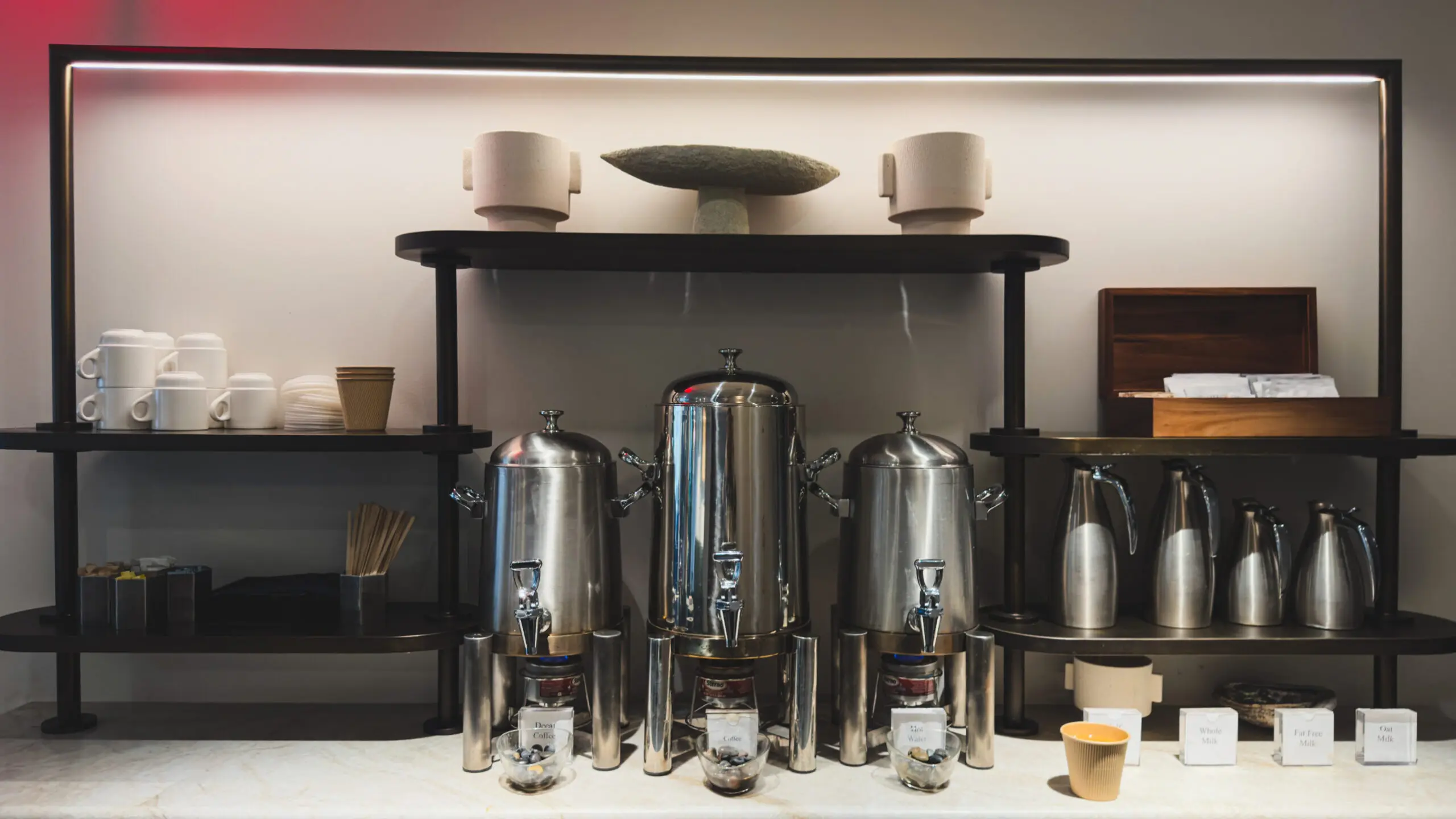
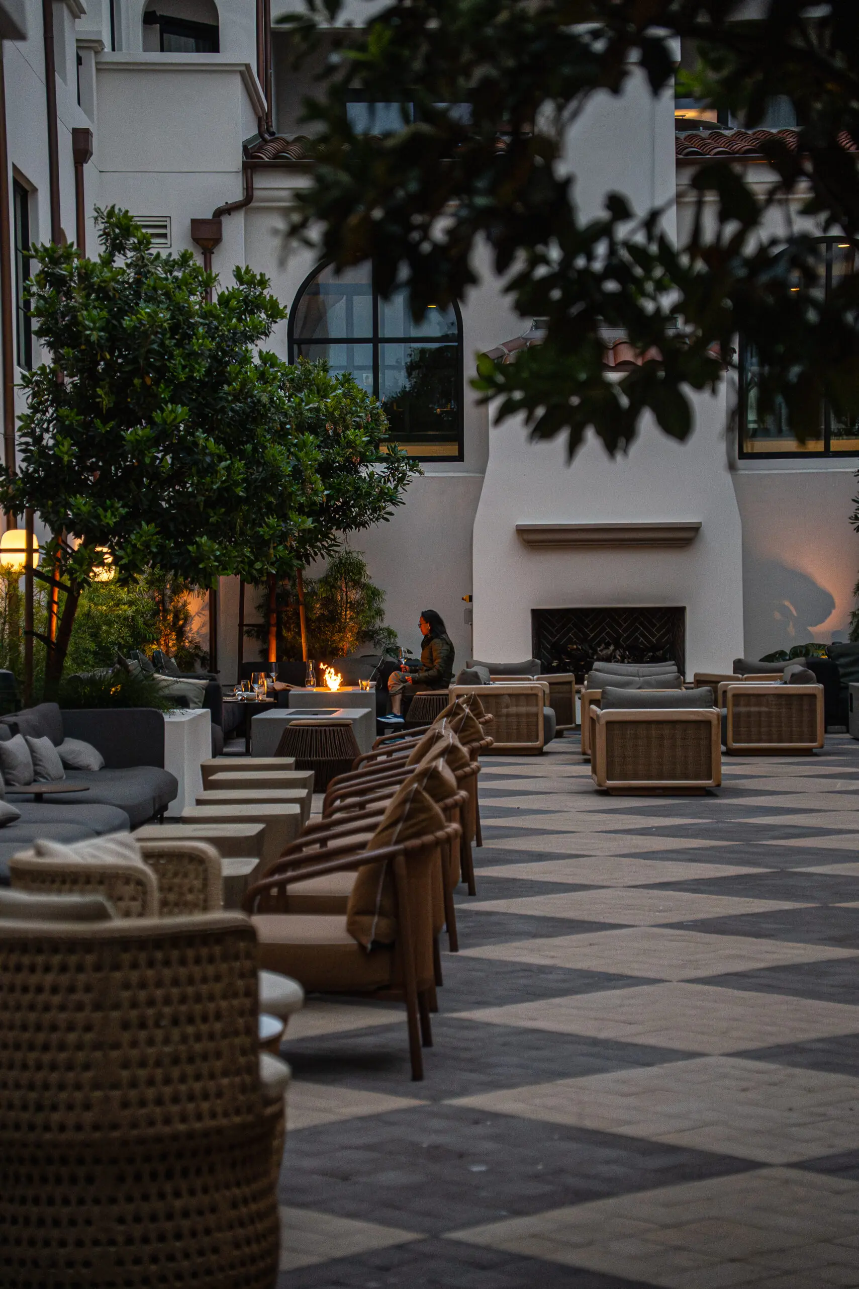
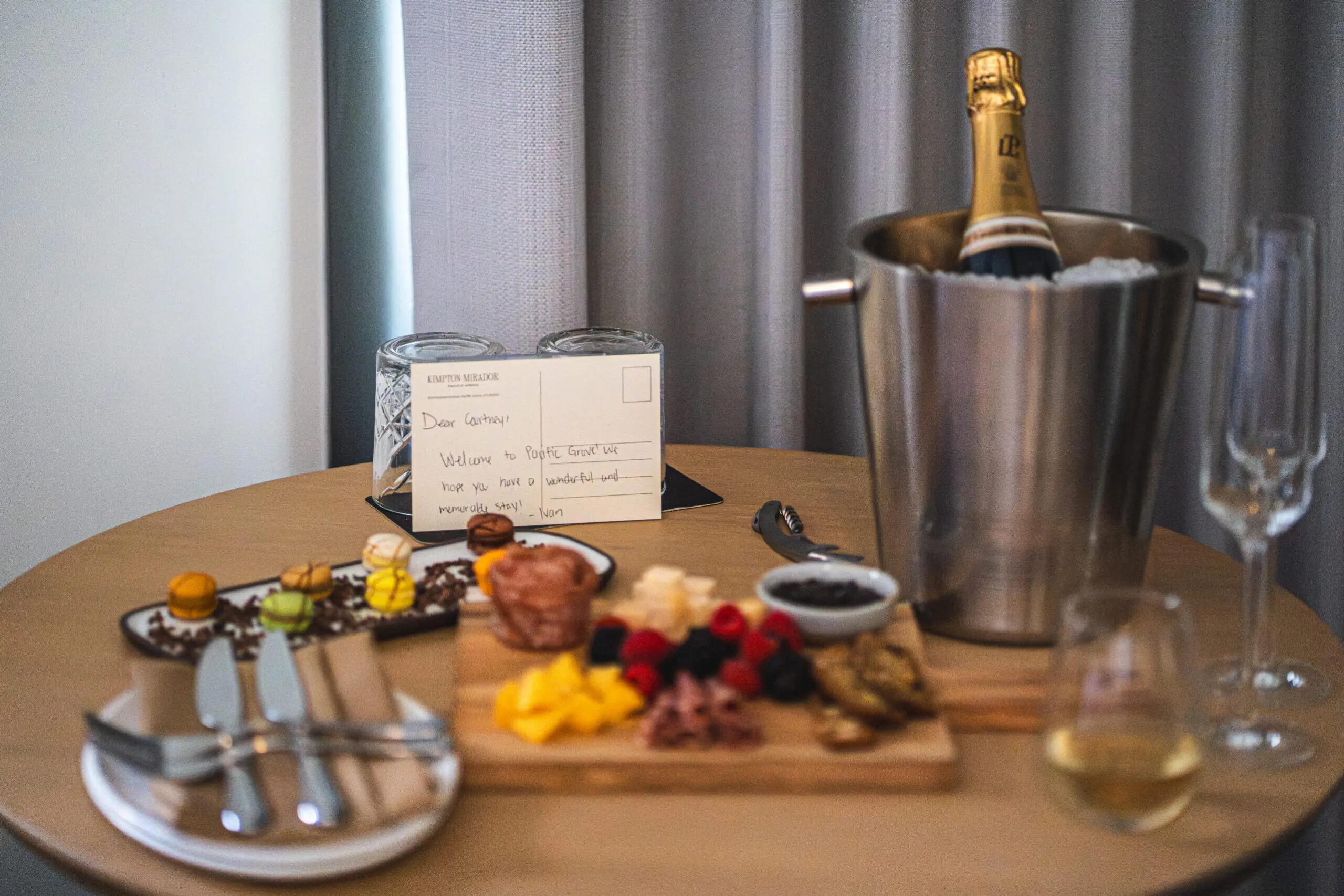
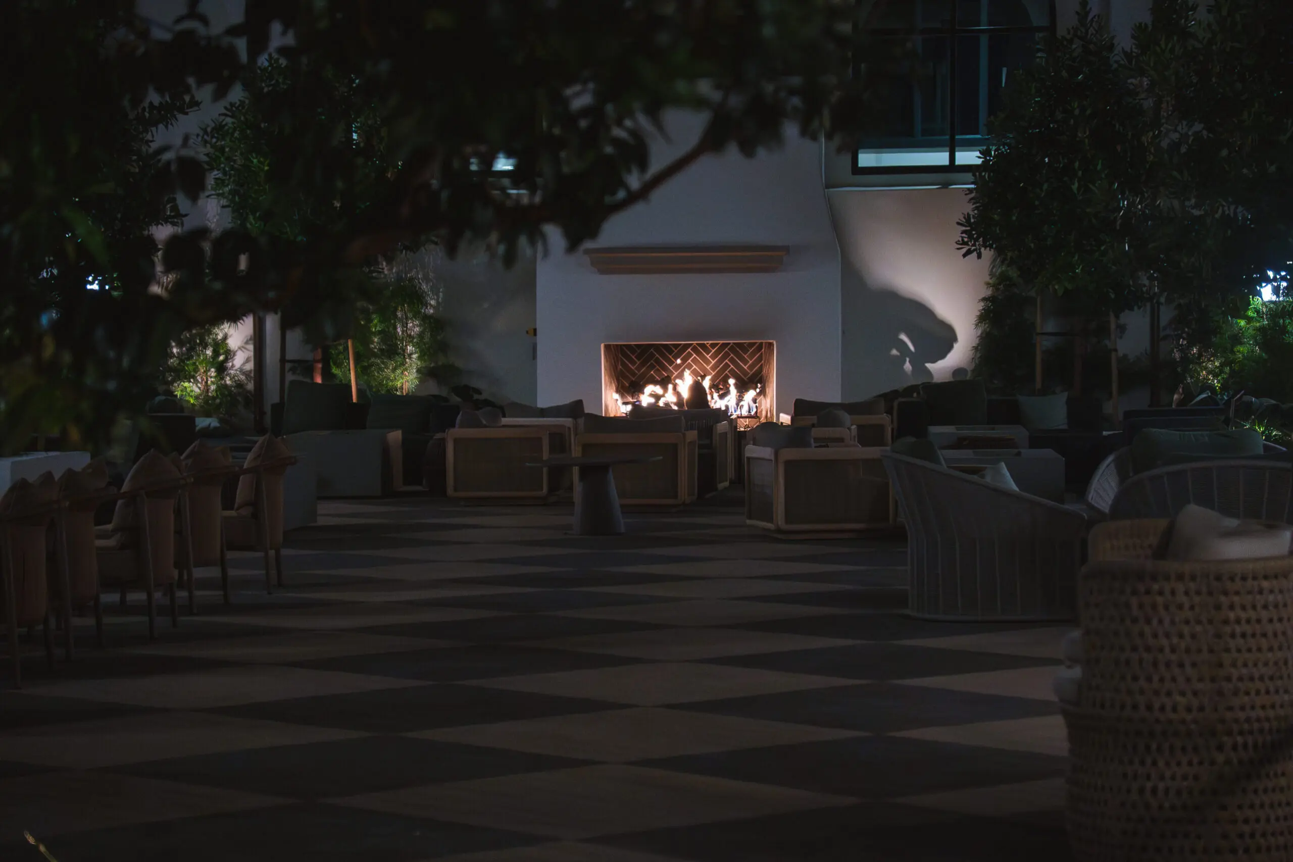
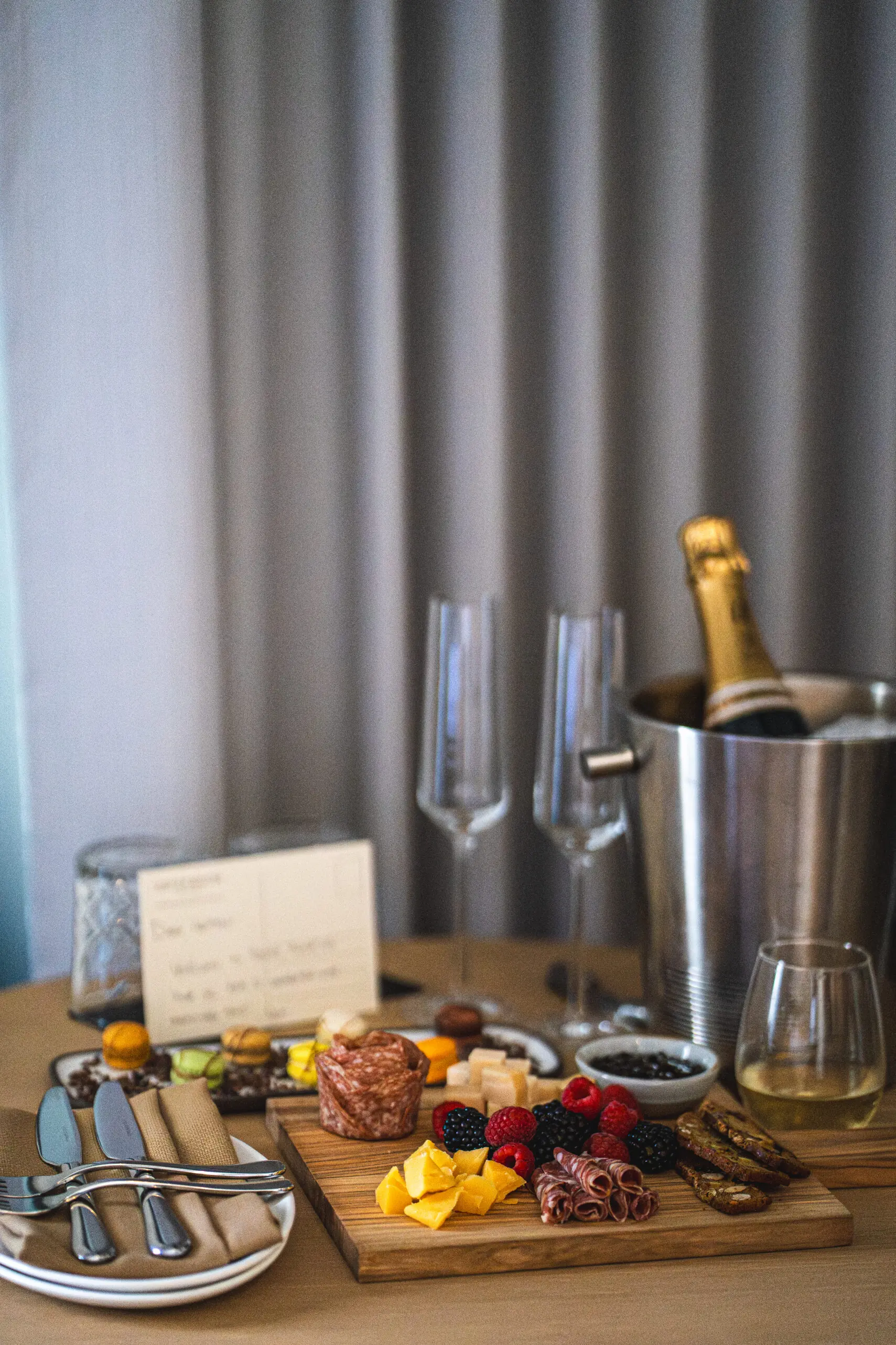
An easy night in Pacific Grove
You don’t even have to leave: dinner at The Caledonian
Here’s the quiet luxury of basing at the Mirador: on a night when you’ve been on Highway 1 all day, the easiest dinner is also one of the best — and it’s downstairs.
The Caledonian is the hotel’s restaurant, and it is emphatically not a phoning-it-in hotel restaurant. The team serves up modern American with a Monterey accent, pulling from the farms, fields, and waters of the Central Coast.
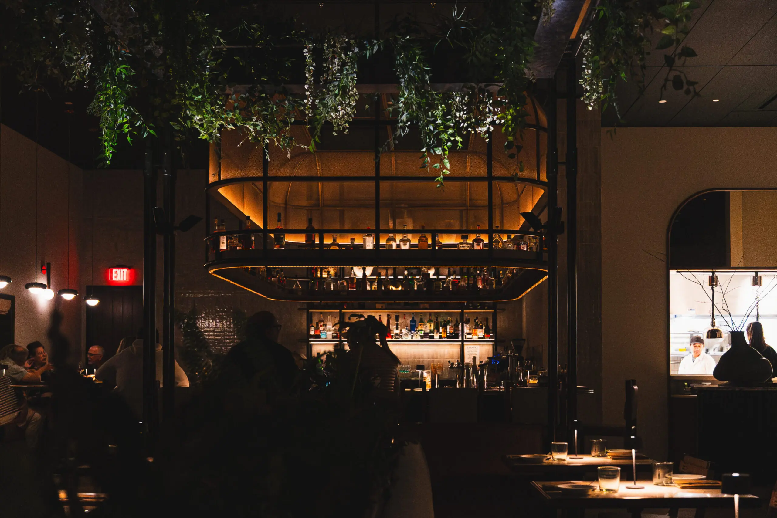
My husband is already searching for a dirty martini with hand-stuffed blue cheese, and The Caledonian had it. Perfect to settle us after a silky crudo, shrimp cocktail and proper Caesar start.
We were advised on the New York strip that did not need a thing — except a few well-poured glasses along the way (a crisp Whitehaven sauvignon blanc, then a couple of reds to see the steak through).
Roll straight from the evening wine hour to your table and the whole night happens without you ever once finding your car keys.
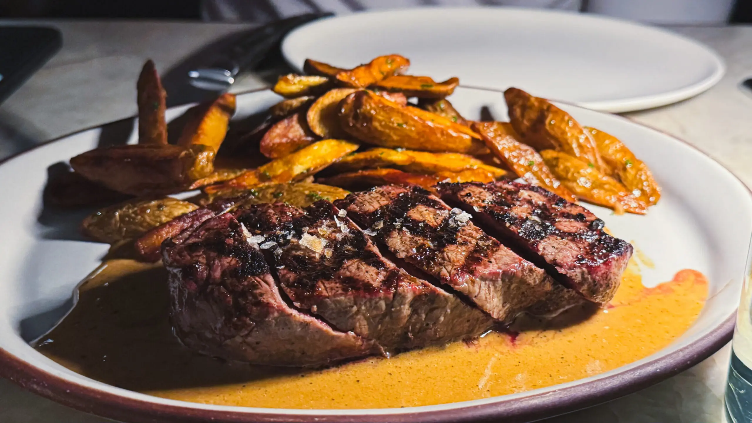
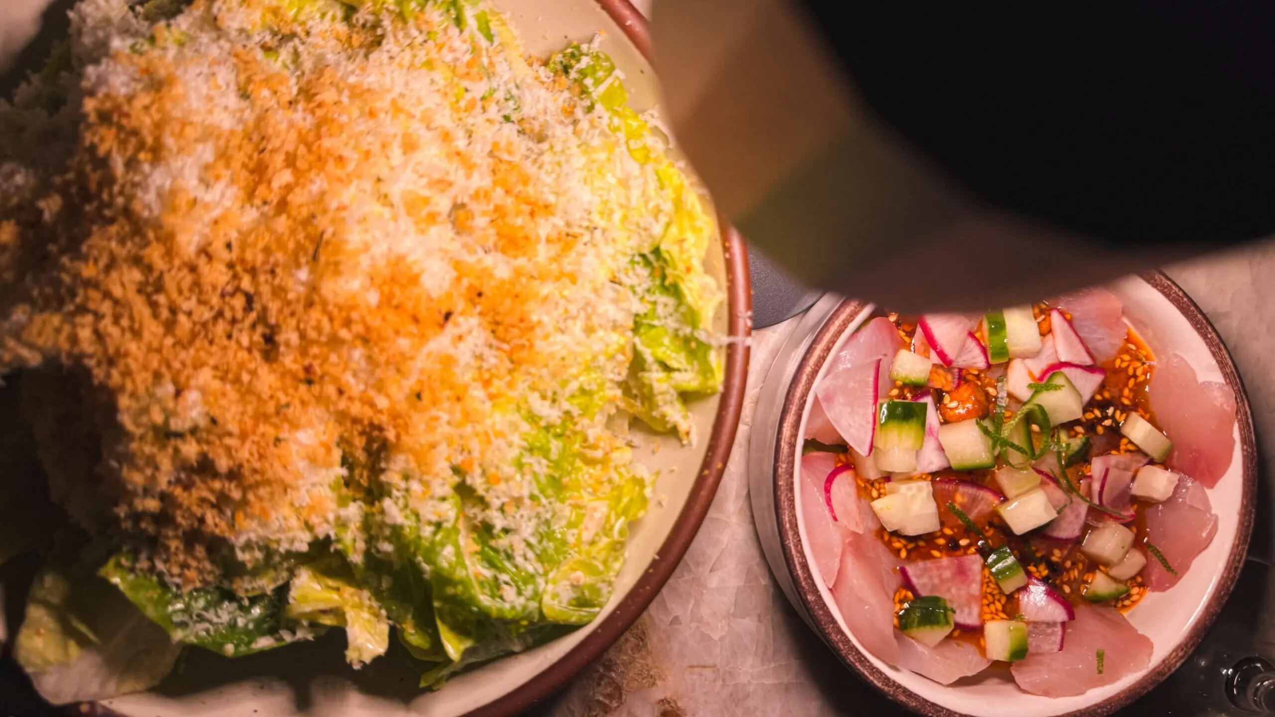
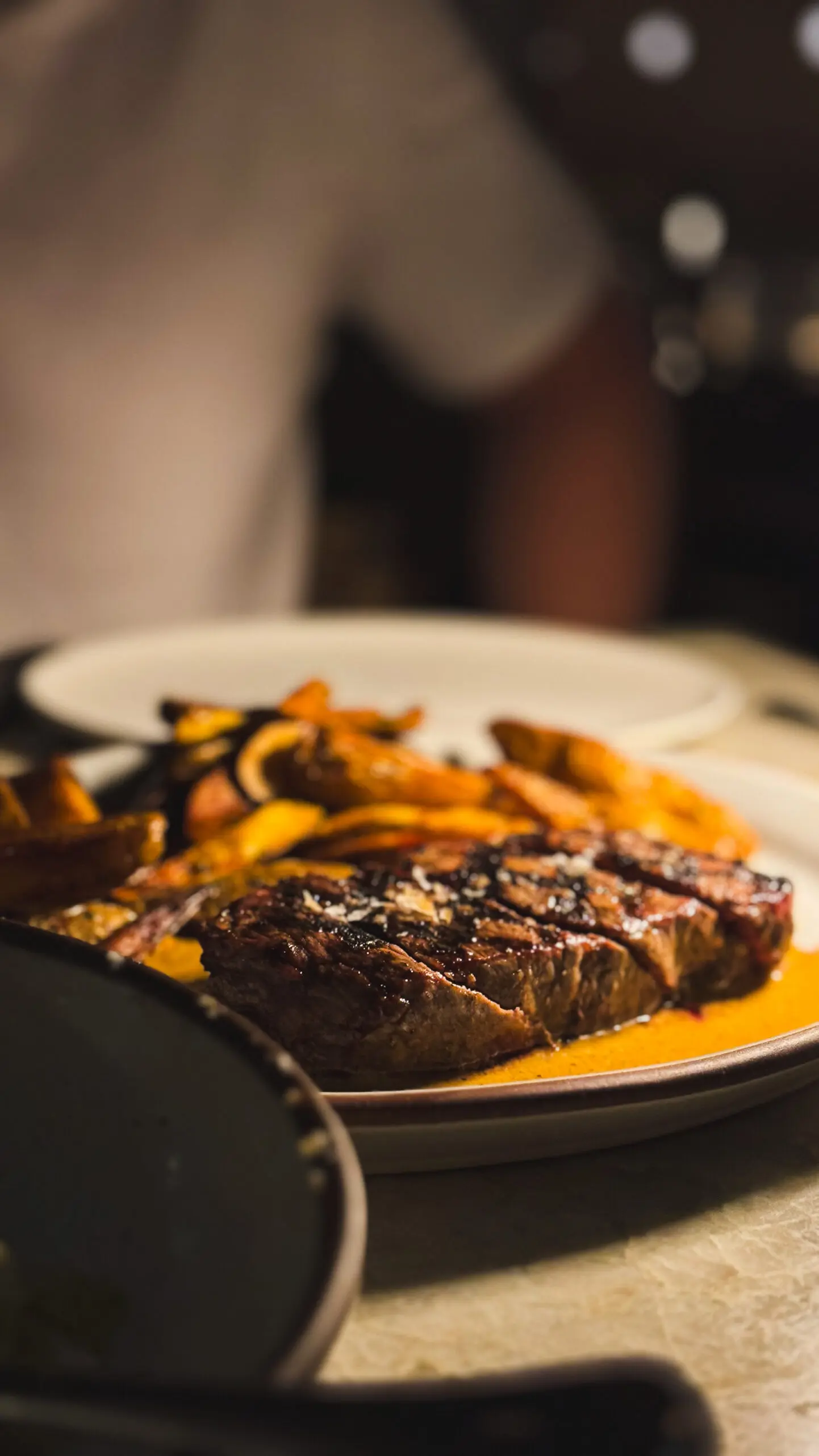
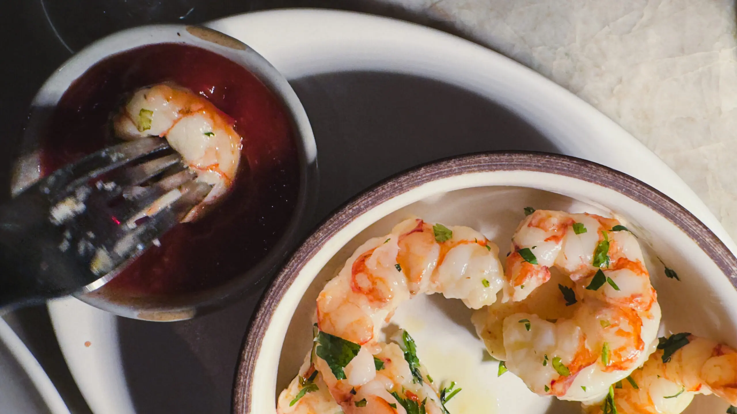
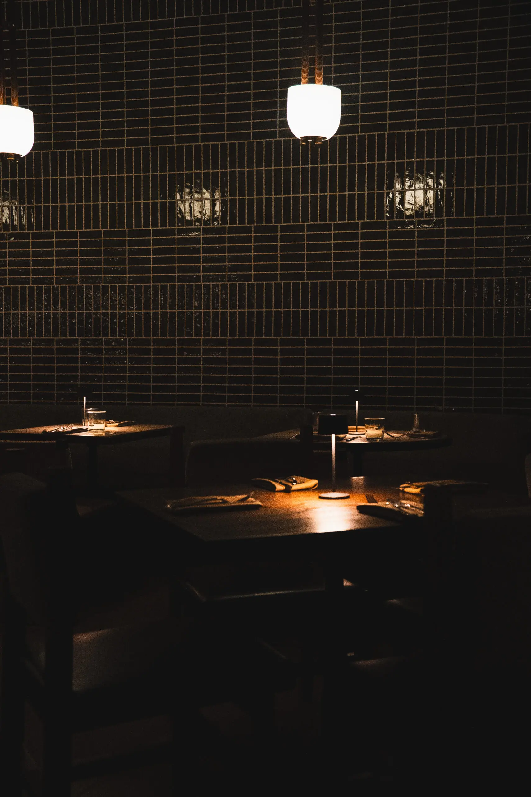
If you’re a wanderer not a stayer, that’s okay, and everything is actually very walkable from the Mirador. No need to plan dinner – you can just wander into it.
A few of the best nearby:
- Hops & Fog Brewing — firepit patio, wood-fired pizza, local beer and cider. The easy-win casual night. We watched the World Cup from here. It was perfect.
- Spotted Duck — French-leaning small plates and a wine list, no full bar.
- Passionfish — The nightly recommended beloved sustainable seafood spot, a notch fancier but not stuffy.
- Peppers MexiCali Café — When the waitress at this PG margaritas and Mexican institution tells you the plates are small, she is lying to you. Trust me when I say: split the guacamole and a couple of enchiladas.
The warm-up: 17-Mile Drive, Carmel
The warm-up: 17-Mile Drive, Carmel
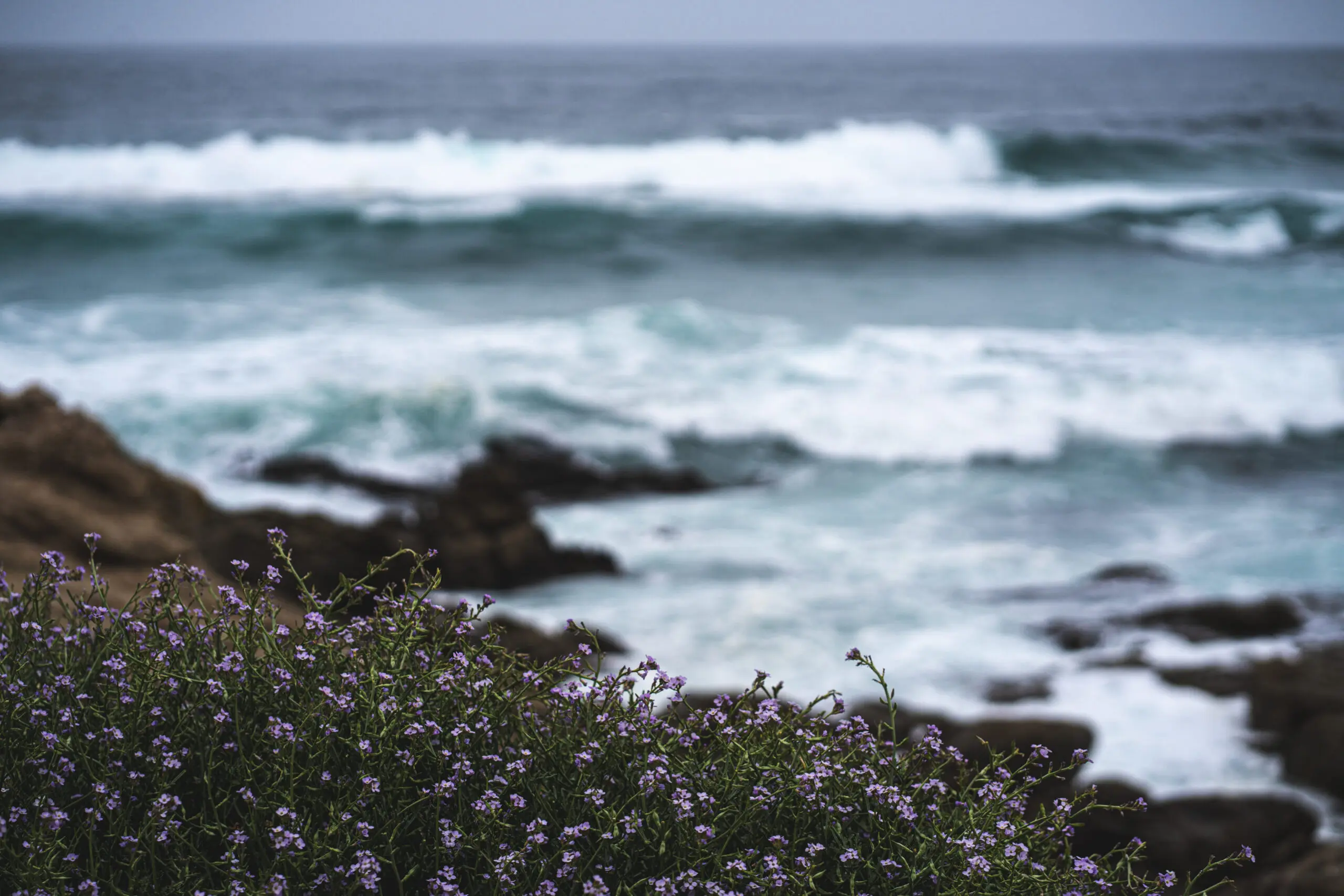
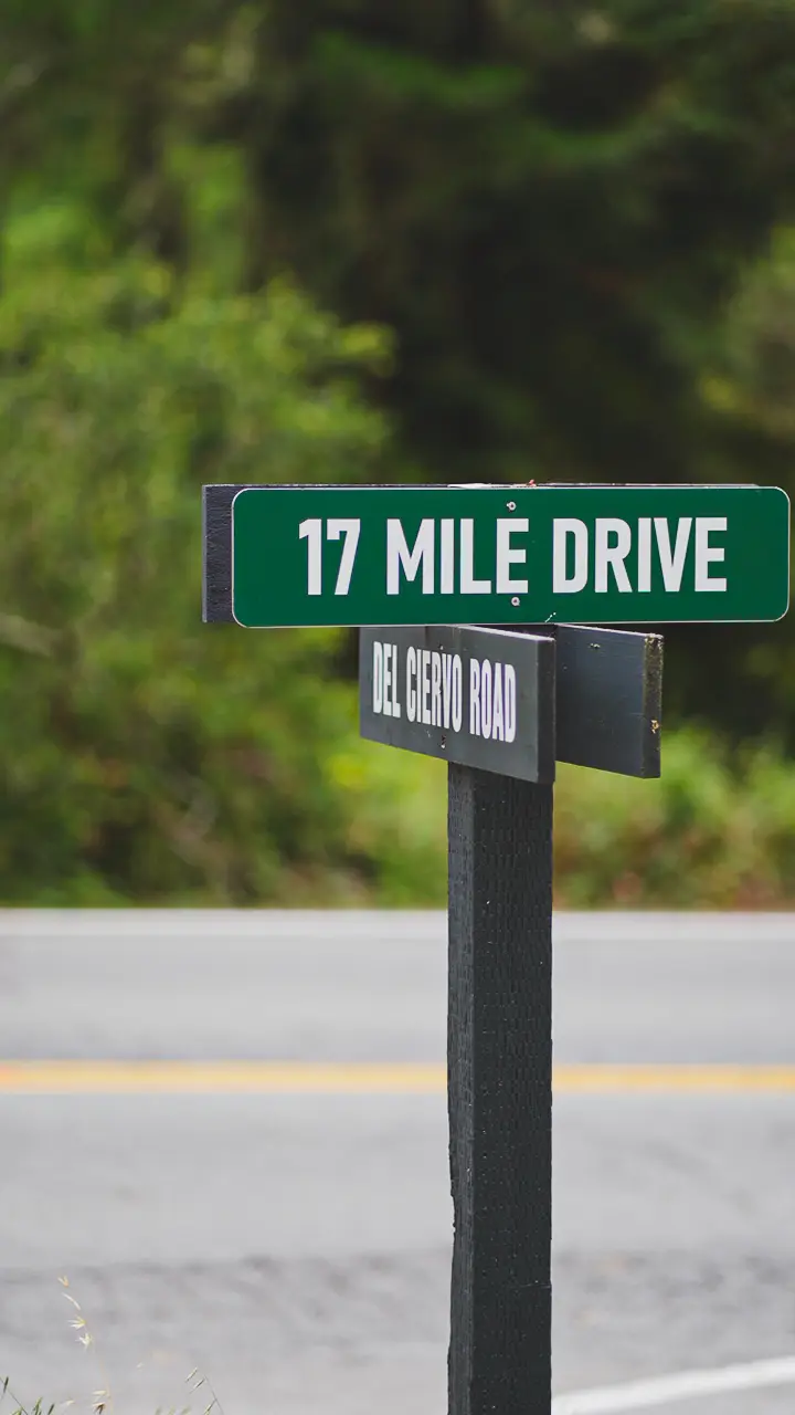
Before Big Sur throws its whole personality at you, the 17-Mile Drive is the gentle, more organized intro.
This private toll loop through Pebble Beach and the Del Monte Forest has been a scenic joyride since the 1880s, when it started as a carriage ride for guests of the very famous Hotel Del Monte.
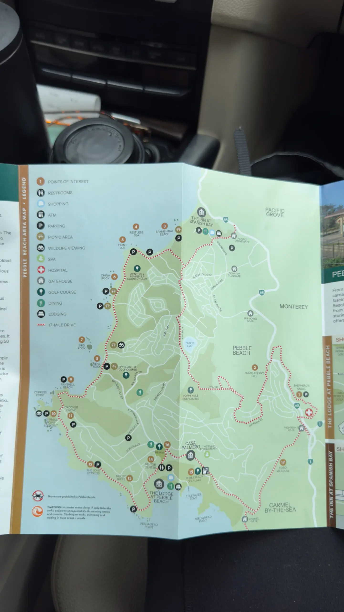
There are five gates; the move is to enter at the Pacific Grove gate (off Sunset Drive, so the ocean’s on your right the whole way, and the brochure’s stops are numbered in your direction of travel) and exit at the Carmel gate, which spits you straight onto Ocean Avenue in Carmel. No backtracking because you’re heading south to Big Sur, and the inland half of the 17-mile-drive is meh, you don’t need to do itt but if you want to you can do it on the way back – your ticket is good all day (and honestly probably as long as you’re here, they don’t inspect it, they just see your pamphlet and wave you in).
🗺️ 17-Mile Drive Route Map
17-mile · 9 stops · 1 unforgettable day
Get the full 17-Mile Drive Google Map
Get the clickable route with every coastal stop pinned — open it on your phone and drive.
No spam, ever. Just the route link + our best California coast tips.
17-mile drive logistics:
- There’s $12.50 per-car toll at the gate (bikes and pedestrians are free; motorcycles aren’t allowed at all). You can get it refunded if you dine at a Pebble Beach restaurant.
- Gates are open sunrise to sunset.
- Budget an hour if you stop for photos.
- The inland return leg of the loop is forest, golf courses, and mansions; it’s the part cyclists and locals skip on purpose.
What you’re actually looking at:
The pullouts have real stories behind them — worth knowing so it’s not just “pretty rock, pretty rock”:
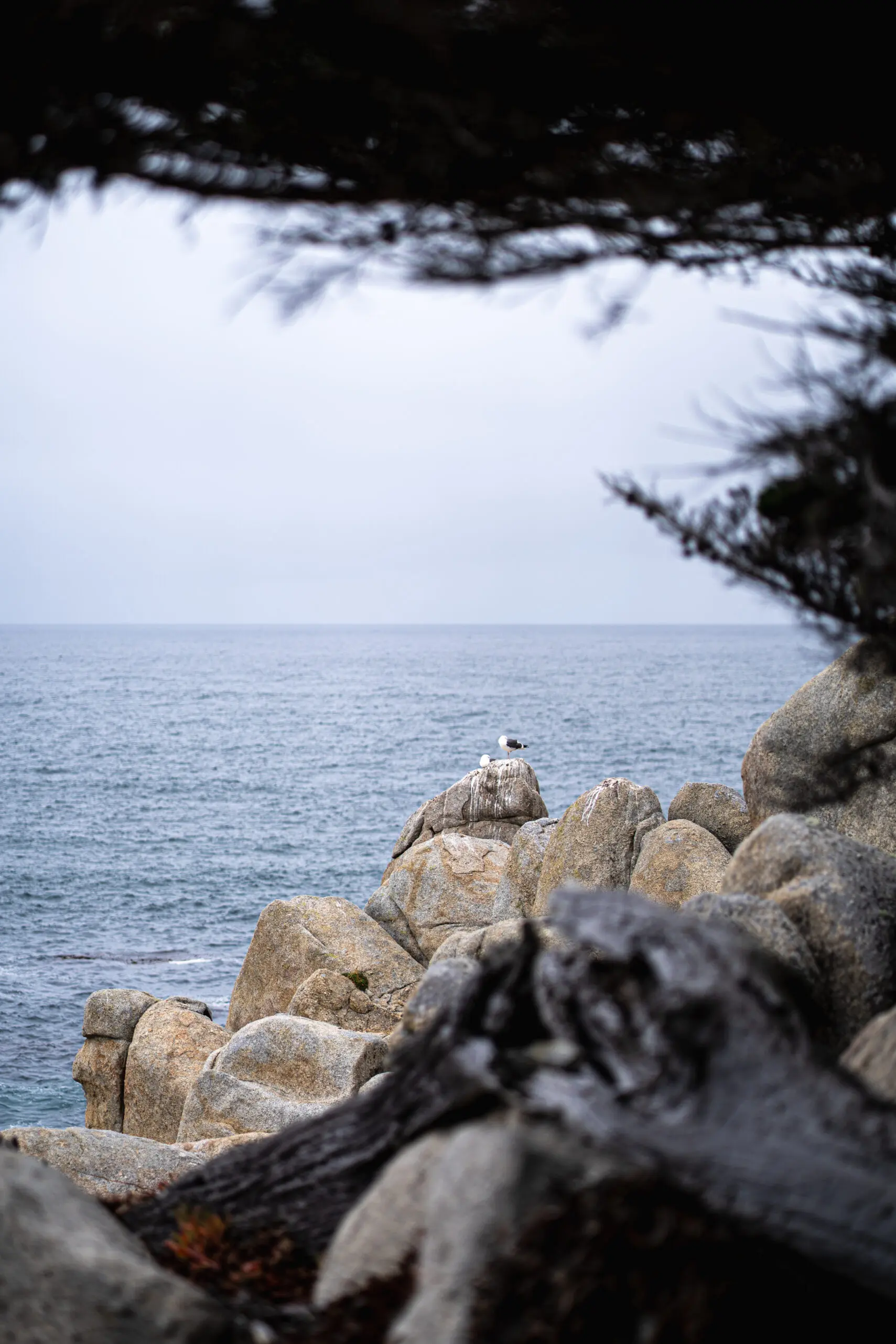
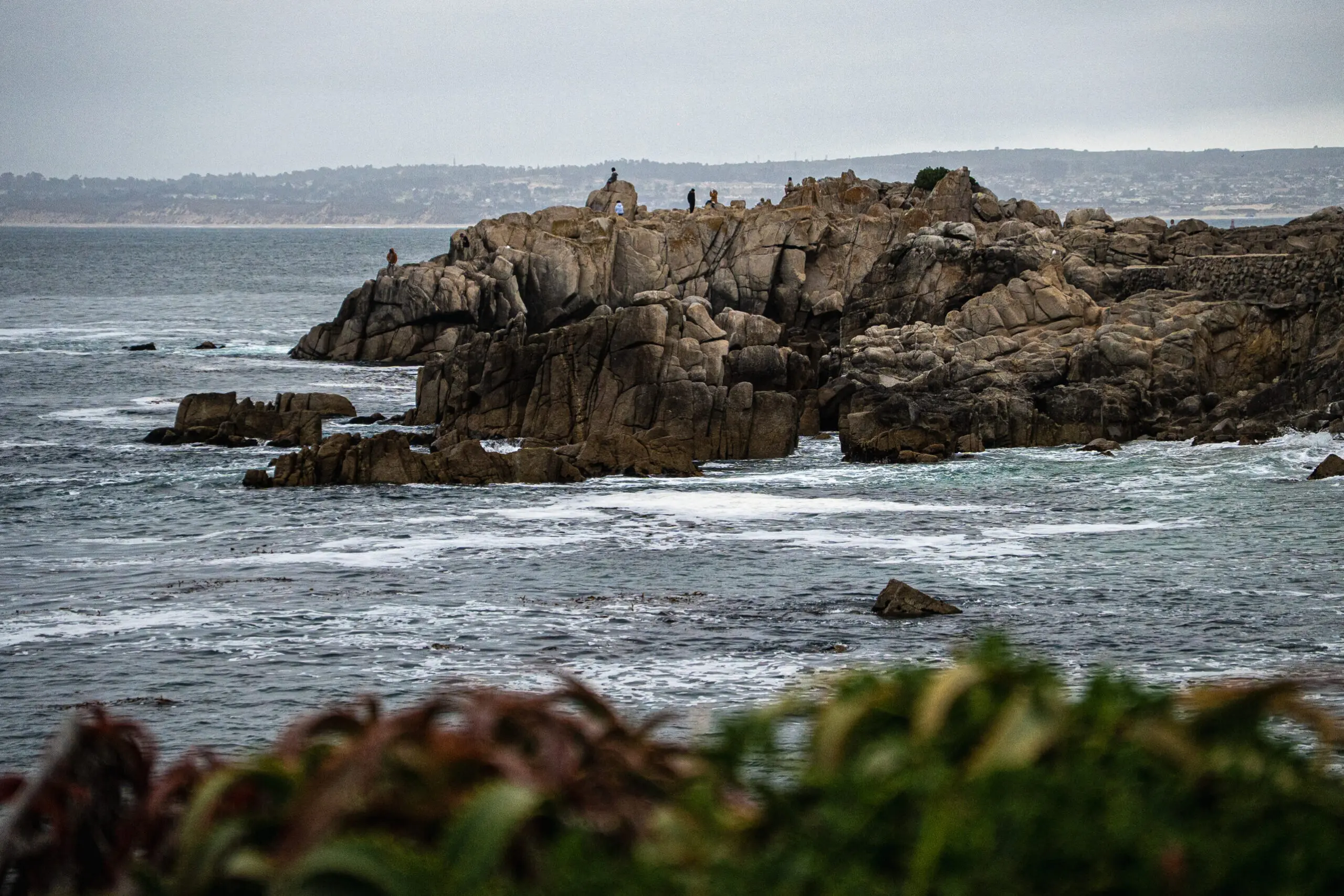
- The Lone Cypress — 250-plus years old on its rock, and the Pebble Beach logo since 1919. The obligatory shot, and it earns it.
- Bird Rock — was buried under four to five feet of pelican and cormorant guano until it was literally harvested for fertilizer in 1930; sea lions have sunbathed there ever since.
- Point Joe — early mariners kept mistaking it for the entrance to Monterey Bay and wrecking, making it a ship graveyard. A man named Joe once lived here in a driftwood hut selling trinkets.
- Ghost Trees at Pescadero Point — sun-bleached cypress and a legendary big-wave surf spot with winter swells up to ~50 feet.
Pebble Beach’s founder, Samuel F.B. Morse, called this coast “the greatest meeting of land and sea in the world.” Standing at Cypress Point at the right hour, you don’t argue with him.
Drive it, or bike it?
If you’ve got a bike (or an e-bike), the loophole is real: cyclists enter free and can stop literally anywhere, not just at pullouts. Last weekend we were on a time budget and my husband was on work calls all morning but I’m going back asap to bike it, and was jealous of the people who were biking it.
The catch: is it’s a shared two-lane road with no bike lane, hilly and windy once you go inland, and often foggy.
The sweet spot is to ride the coastal half and skip the inland forest climb entirely.
A stop in Carmel-by-the-Sea
A stop in Carmel-by-the-Sea
Roll out the Carmel gate and you’re basically there.
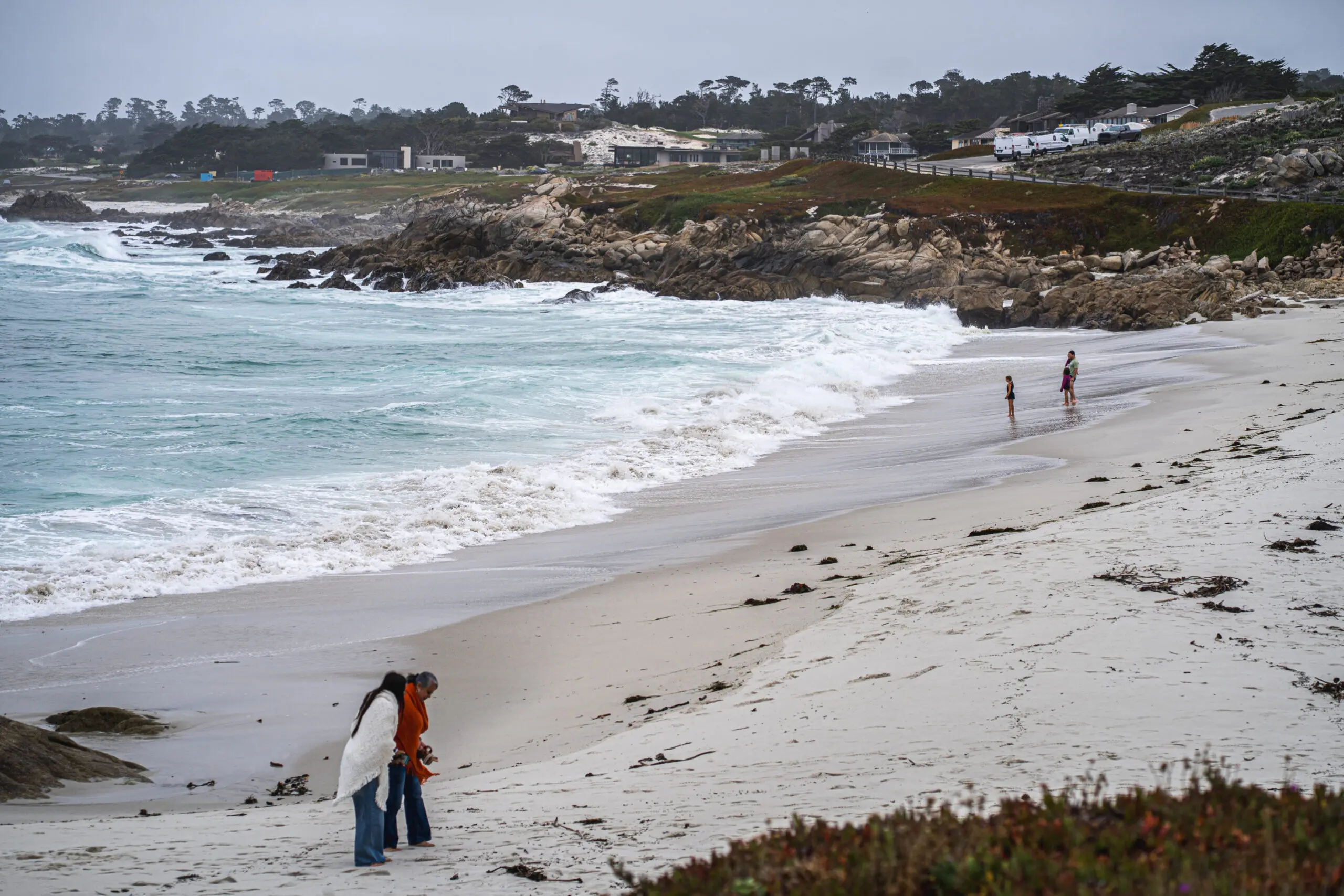
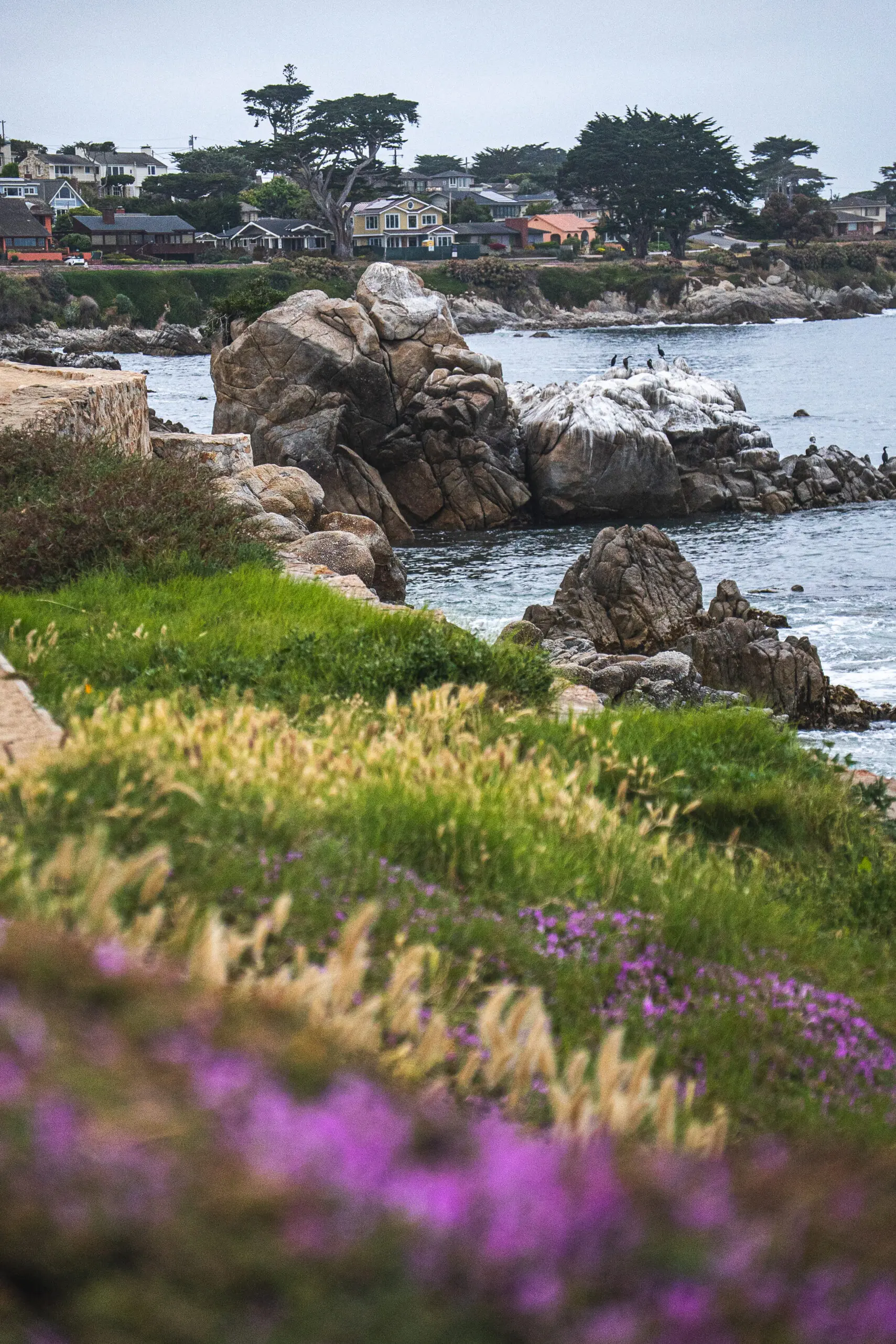
The two-street version of Carmel: take Ocean Avenue downhill toward the beach (galleries, storybook cottages, the works), then hang a left onto Scenic Road, which hugs the bluff along Carmel Beach and rolls you past the famous houses — including Frank Lloyd Wright’s “Butterfly House.”
Carmel is more of a graze-and-go than a sit-down-for-two-hours town, at least on a Big Sur day when you’ve got miles to make.
The grab-and-go hit list:
- The Cheese Shop — a 4.9-star institution, free samples, and a build-your-own picnic that’s tailor-made for the road ahead. The “famous for it” pick.
- Carmel Bakery — the classic; giant warm soft pretzels, cannoli, lobster-tail pastries, gelato.
- Carmel Valley Coffee Roasting Co.— local roaster with a cult following for its banana bread and honey “bee” lattes.
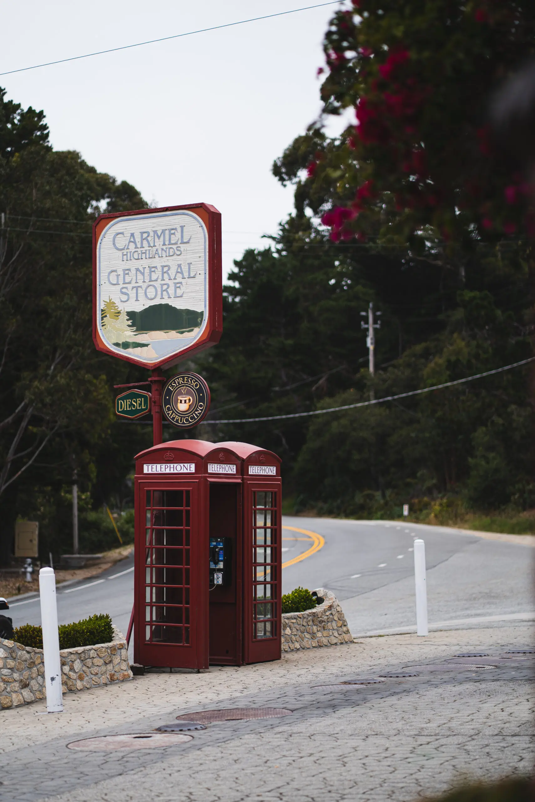
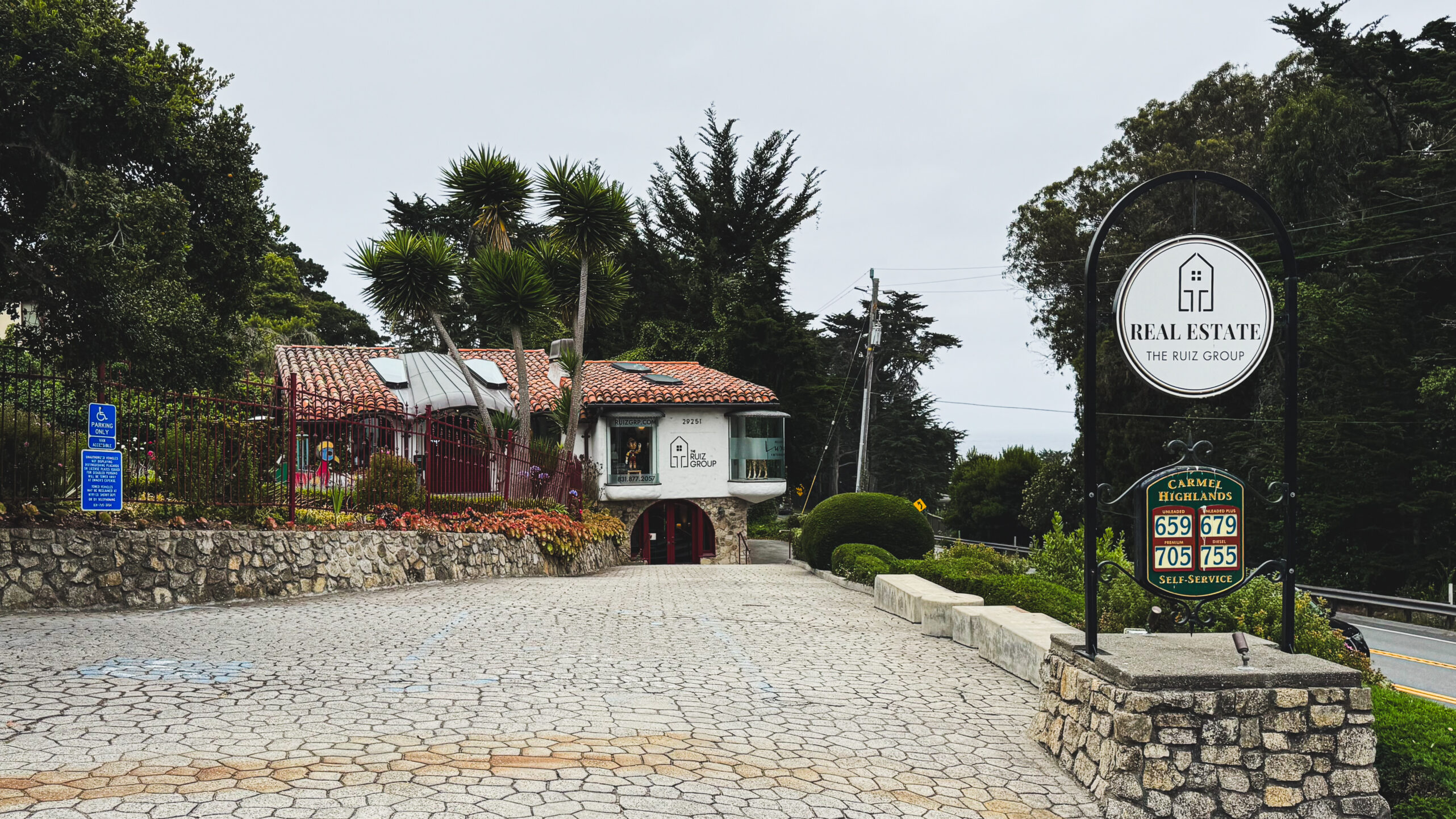
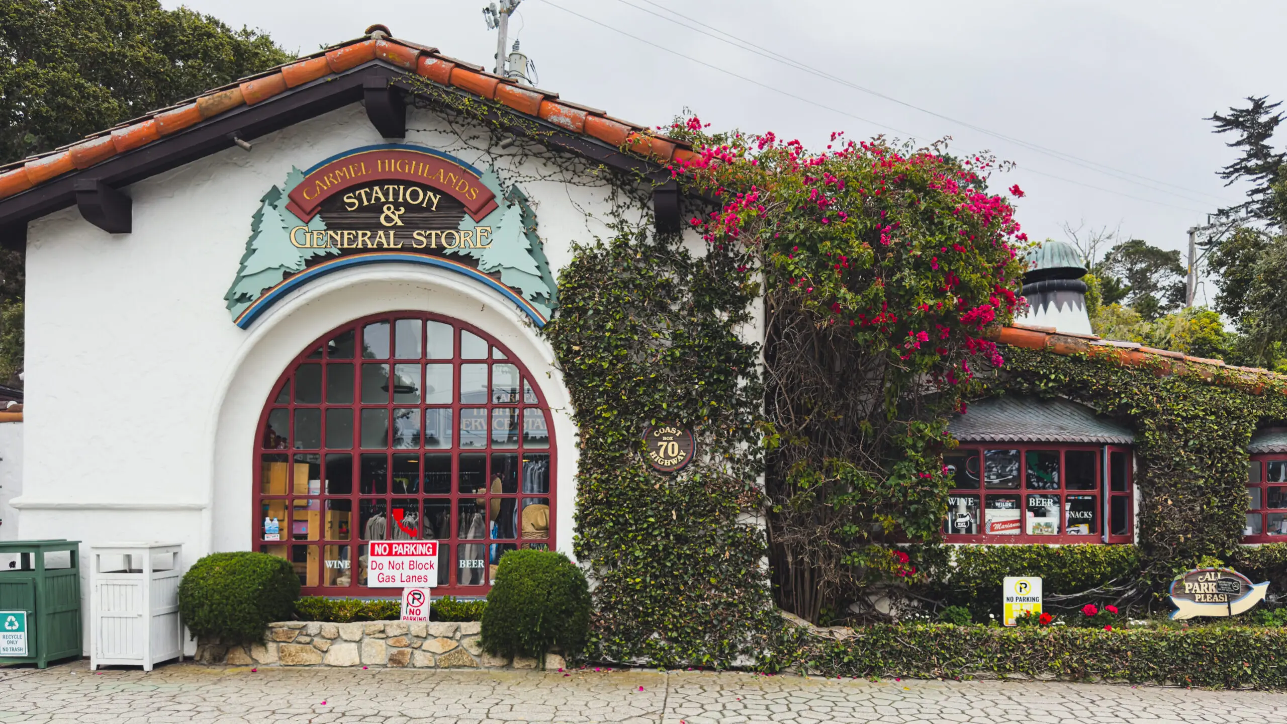
And then, right as you leave town heading south, there’s the single most on-brand pit stop of the whole trip: Carmel Highlands General Store, where I ran into the Chronicle front pagee with Big Sur on it. It’s the world’s cutest gas station. It’s not like a coffee shop, but I got a latte and it was good.
Fill up here or back in Monterey because gas prices go up by the mile from here.
Big Sur: the main event
Big Sur: the main event
Big Sur is the payoff, and it’s genuinely one of the great drives on earth — but it demands a little respect. Read these four before you point the car south. They’re not suggestions.
1. Gas up first. Fill the tank in Pacific Grove or Monterey. Gas is scarce and eye-watering south of the village.
2. Download an offline map. There’s no cell service past the village. In Google Maps: profile → Offline maps → “Select your own map” → box in Carmel south to below Nepenthe → Download. Do this on WiFi before you leave.
3. WiFi lives at the village, and only there. Big Sur Lodge, the deli, the roadhouse, Ripplewood Café, the Henry Miller Library. Nepenthe and everything south of it: no WiFi.
Driving south (and how far to go)
There’s no rule that you turn around at Nepenthe but it’s an easy marker – a straight run of greatest hits you can do in a day without white-knuckling the entire coast.
Here’s a non-dep dive of ‘worth its’, north to south, for someone who is not a serious hiker:
- Point Lobos: Starting close to home, just south of Carmel, Point Lobos is arguably the best short coastal hike in California — turquoise coves, sea lions, wind-bent cypress.
- Garrapata: About 6 miles down, where the pullouts are on the right (grab the second if you miss the first), the Soberanes bluff hands you otters, big surf, and water so blue it looks color-corrected.
- Bixby Bridge: This is the one you’ve seen a thousand times without knowing its name — park on the north side, take the shot, move on. It was recently illegal to even stop within a mile of this bridge because the crowds got so out of hand. We skip the photo opp and just click in our minds, irl style. And be careful passing it on your way back, some asshole parked his car 10 feet from the bridge, hanging 1 car’s length into the road (I assume this was a man).
- Point Sur Lighthouse: Just past Bixby, it stands out on its volcanic rock; you can tour it on select days if the timing lines up.
- Andrew Molera: The park for a wilder, less-crowded hike down to the beach.
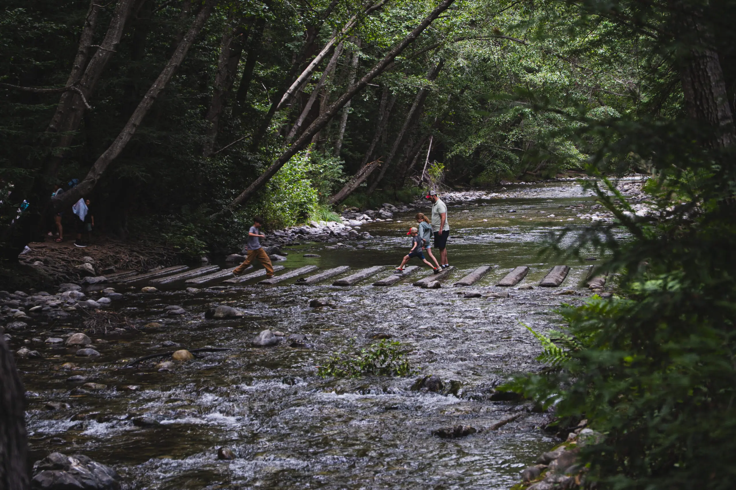
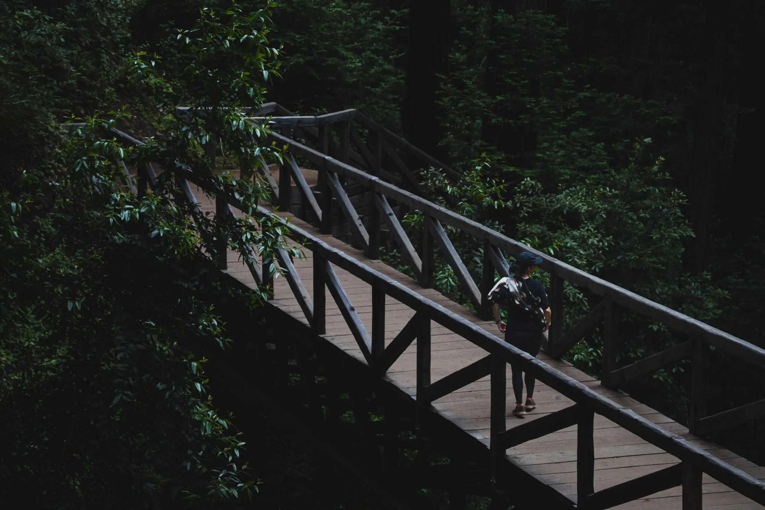
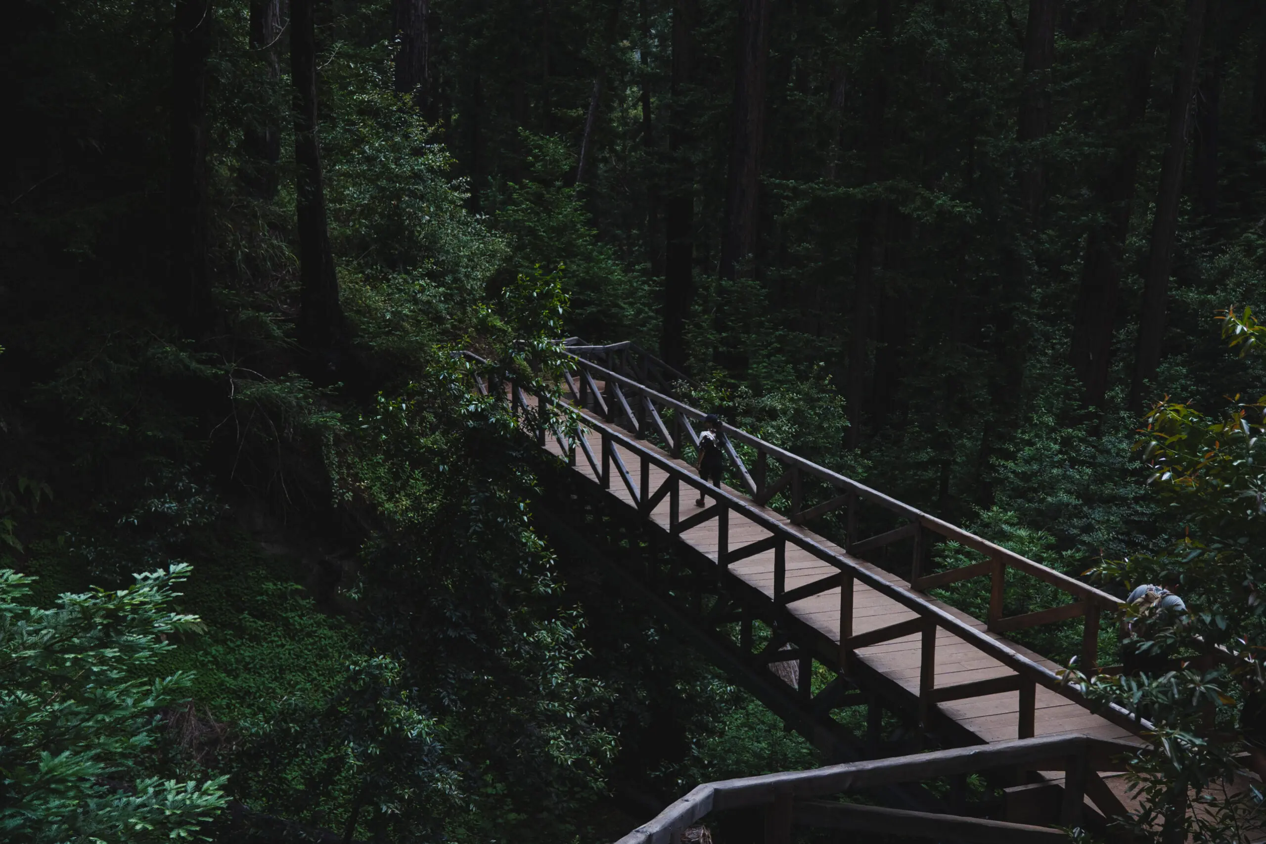
- Pfeiffer Big Sur State Park: your redwoods-and-waterfall stop — a shaded loop to Pfeiffer Falls over a brand-new footbridge, and the last place your phone works. Don’t skip Pfeiffer Beach, down an unmarked, cartoonishly narrow road off Sycamore Canyon: purple-tinted sand and Keyhole Rock, which the low sun lights up like a portal.
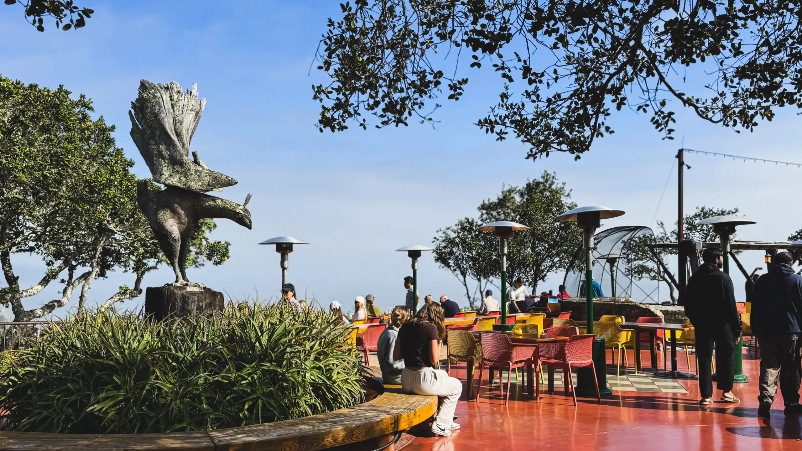
- Nepenthe: 800 feet over the Pacific, the Ambrosia burger, your natural lunch and turnaround (Café Kevah just below if the wait’s feral). Here, you’re above the clouds, sipping wine and watching exotic birds steal French fries out of people’s hands. It’s an astounding environment, designed in part by Frank Lloyd Wright.
- Henry Miller Library: The artsy soul of Big Sur and one of the only WiFi spots down here is ½ a mile from Nepenthe.
- McWay Falls: This is the postcard waterfall. Push about 10 minutes further to Julia Pfeiffer Burns for a cascade that that spills straight onto the beach. Heads up: the overlook trail is closed for repairs into 2026, so for now you catch it from a small pullout on Highway 1, not the famous viewpoint. Still worth the detour — just know what you’re getting.
Do all of it and it’s a long day; cherry-pick, and it’s a perfect one.
The condor
And then, at Nepenthe: a California condor over the cliff. If you don’t know why that’s a big deal — this is a bird that was down to a couple dozen individuals in the 1980s, nearly gone forever. Big Sur is one of the few places it was reintroduced, and Nepenthe’s cliff is a known thermal it likes to ride.
A ten-foot wingspan, floating right there. You can chase a lot of things on this coast; you don’t get to plan a condor. It just shows up, or it doesn’t. That day, it did.
If you do want to stay out there: Ripplewood
If you do want to stay out there: Ripplewood
Everything above argues for basing in Pacific Grove — but if you want one night actually inside the redwoods, Ripplewood Resort is the un-fussy old-Big-Sur answer.
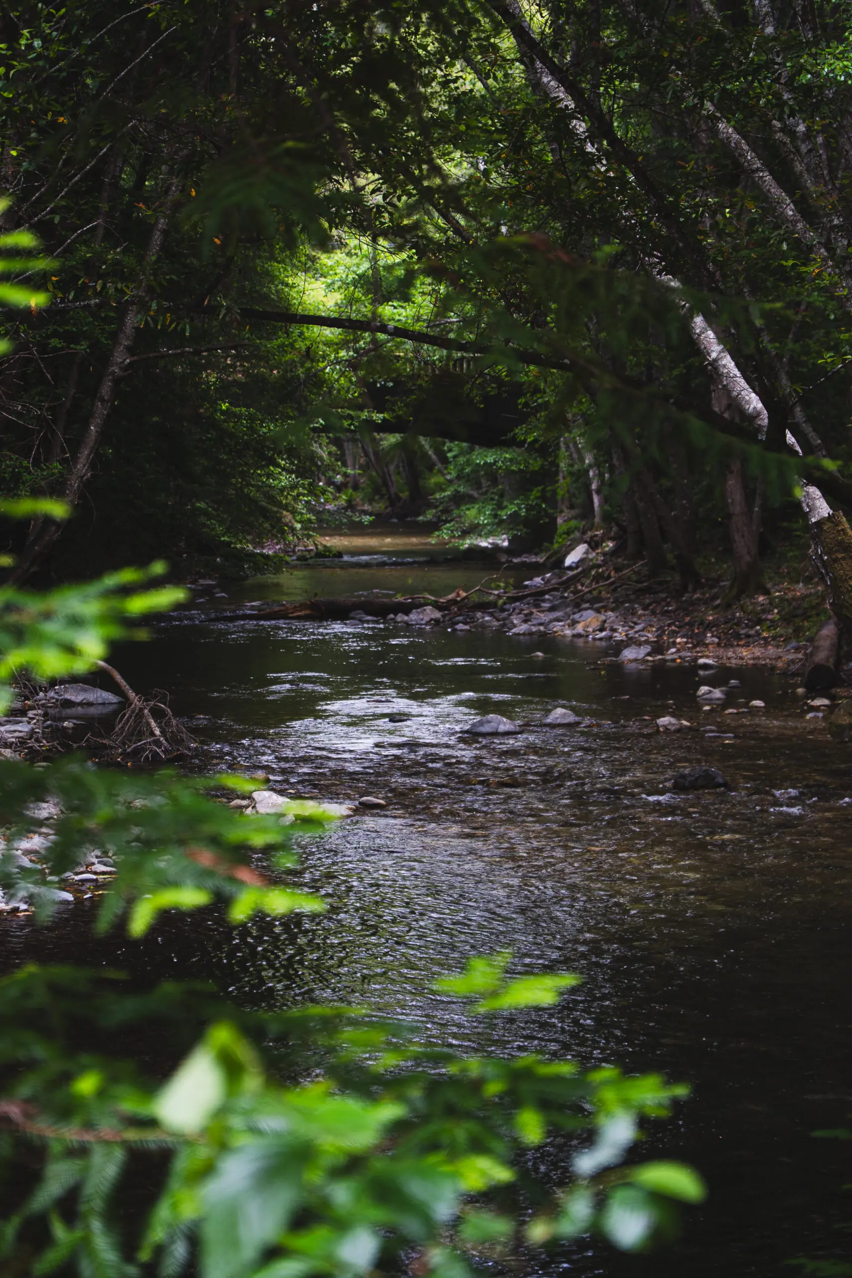
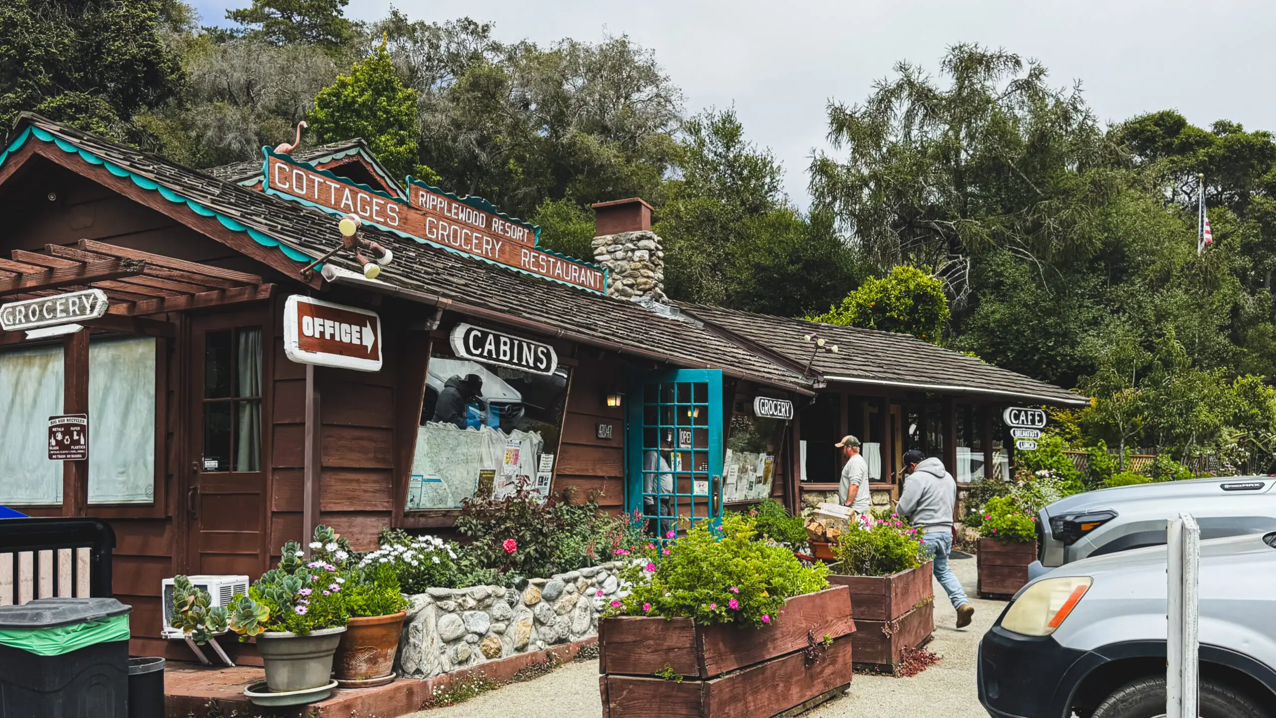
Established in 1928 and family-owned since 1955, it’s a cluster of 17 rustic free-standing cabins on about 12 acres along the Big Sur River — wood-burning fireplaces, little kitchens, river-view decks, private fire rings.
It began as a campground on the old Coast Trail and became a toll station once Highway 1 was finished in 1938.
The genius of it is that it’s a one-stop: cabins, a café (the homemade cinnamon muffins and the steak and eggs have a following), a general store, and an on-site Chevron (a cute miniature Chevron, just like the one with the newspaper) — so you never actually have to leave.
It’s deliberately quiet and unplugged: strict quiet hours, no weddings, no events, no big groups. If your idea of Big Sur is disconnecting in the trees rather than fine dining, this is the one.
But if you've always been more of a city person, check out other hotels in Big Sur:
The payoff
The payoff
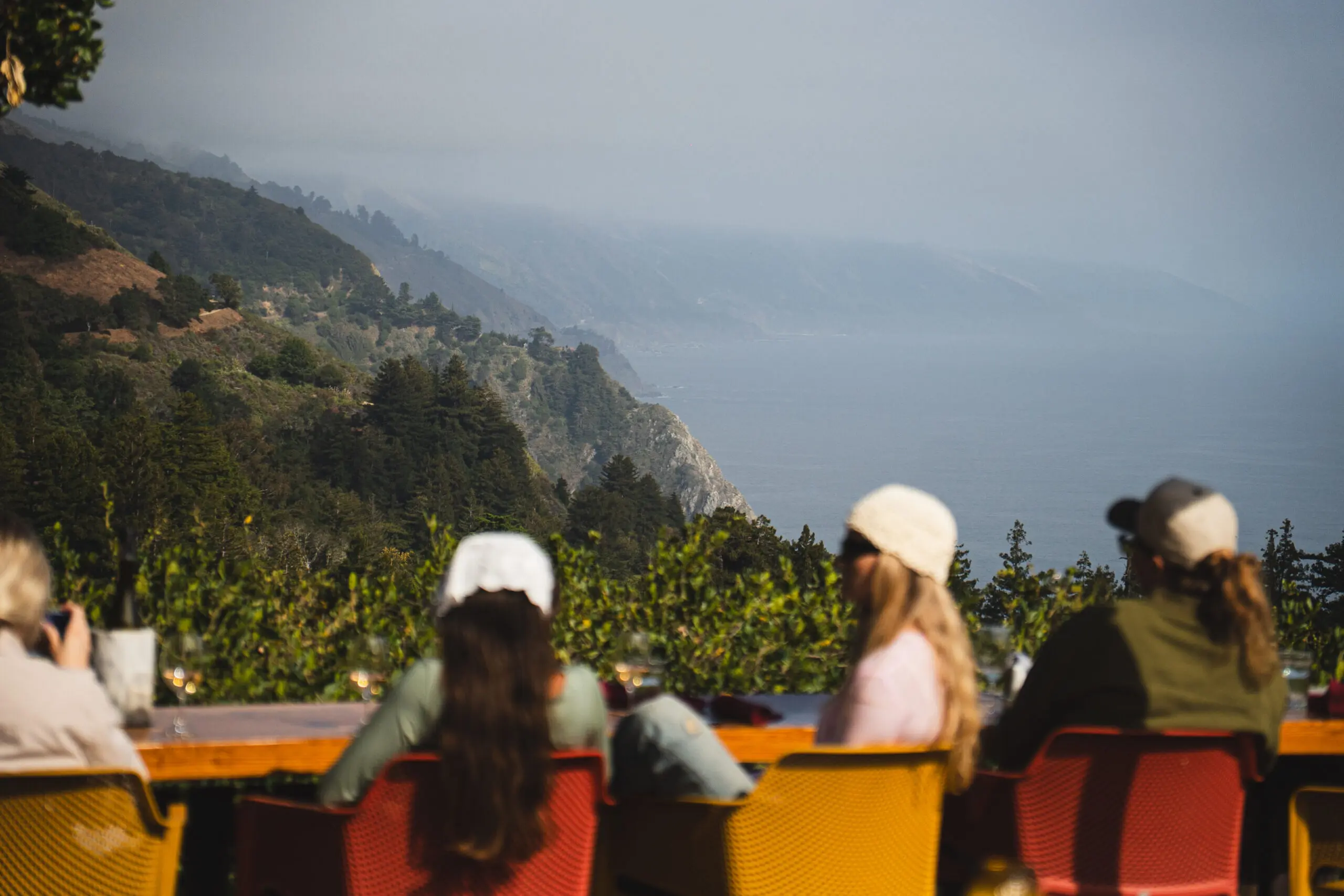
The reason the PG-Big Sur-PG loop works is the shape of it. You sleep somewhere civilized — good coffee, a real bed, a texting concierge who wants to bring you a fluffier pillow — and you spend your day out at the wild edge of the map, then come back to it.
Pacific Grove is the door you walk through to reach Big Sur. The 17-Mile Drive to warm up, Carmel to graze, then the whole cinematic run south on Highway 1 — all the way to a condor over Nepenthe.
The road is finally open again. Go before the next landslide.
Ready to book your flight to Pacific Grove?
You'll fly into Monterey Airport (MRY)
More from this trip

37 best things to do in San Francisco
The full San Francisco guide — 37 things to do, where to eat, and how to see the city like you actually live there.
Read the guide →
Mendocino & Fort Bragg, California
The coast north of here — Mendocino, Fort Bragg, the Skunk Train, and the foggy, dramatic version of Highway 1.
Read the guide →
13 reasons to take a trip to California
Still not sold? Thirteen reasons to book the flight — coast, cities, deserts, and everything in between.
Read the guide →As always, if you have any questions or want specific recommendations leave them in the comments and I’ll respond.
If you want to message me privately, I’ll respond on Instagram @The.HauteBohemian
This blog may contain affiliate links. If you make a purchase through these links, I may earn a commission at no additional cost to you.
This helps support the blog and allows me to continue creating content. Read my fulldisclosure for more info and thank you for your support.
0 Comments